Stage 11. Wintershoven (BE) to Tongeren (BE)

The Roman presence is apparent from the fact that the main road to Tongeren goes through the territory of what later became Wintershoven in a southerly direction. Roman roof tiles, potsherds and flints were used for the Sint-Pietersbandenkerk in Wintershoven.
In the early Middle Ages, Wintershoven became an important ecclesiastical center due to the activities of religious preachers such as Bavo van Gent, Amandus and their followers in the 7th century. Many of them were canonized (The Saints of Wintershoven).
Wintershoven is the village of many saints. Every year, on November 1 and 2, many believers gather in the village for high mass. Then the relics of the saints from the seventh century are shown.
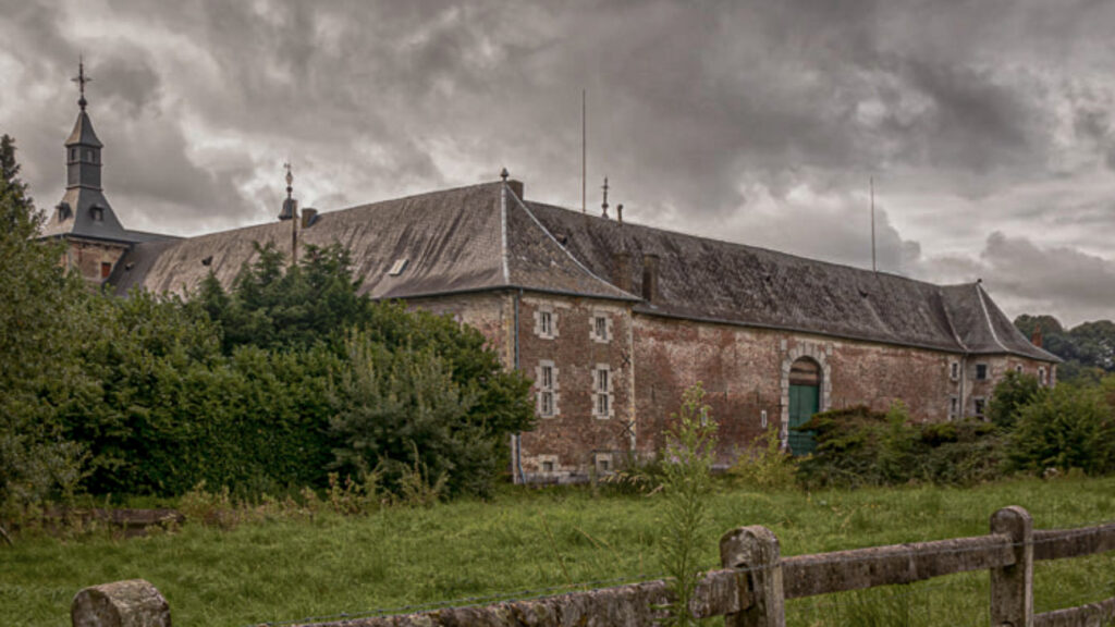
Wintershoven is located at a crossroads of roads, originally developed as a street village. In 1904 the tram line Kortessem-Tongeren was built, with a tram station near Dessener Castle. The tram line has disappeared, but the name Stationsstraat remained.
Tongeren is the first and oldest town in Belgium.
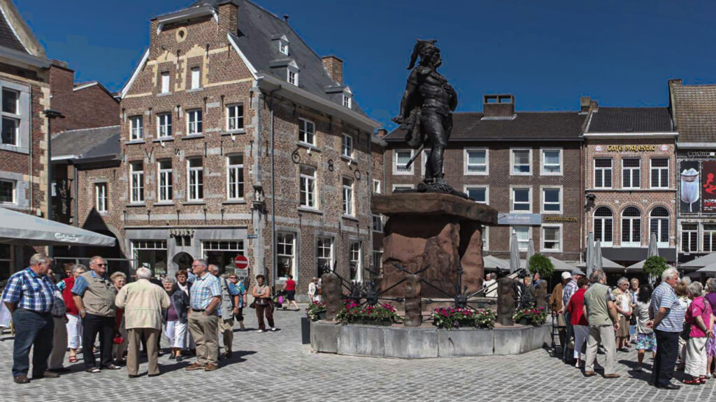
The most famous inhabitant of Tongeren is undoubtedly Ambiorix. This Eburone king inflicted such a devastating defeat upon the occupying Romans that Julius Caesar called the Belgians the bravest of all.
Under Roman rule, “Atuatuca Tungrorum” grew into one of the largest trading cities in Northern Gaul. The Roman passion for building underscores the importance of this strategic location. You can still see the remains of the aquaduct, Roman temple and impressive defence wall around the city to this day. The wall is 6 metres high, 2 metres thick and 4.544 meters long. Unfortunately it has crumbled over the centuries…. just like Roman influence. But the fall of Rome was not enough to stop Tongeren’s growth.
When the new country of Belgium was founded – Tongeren flourished once more.
Nowadays, Tongeren is once more a lively place where the spirit of the Romans, innovative city projects and a buzzing economy create a vibrant atmosphere. Come and see for yourself!
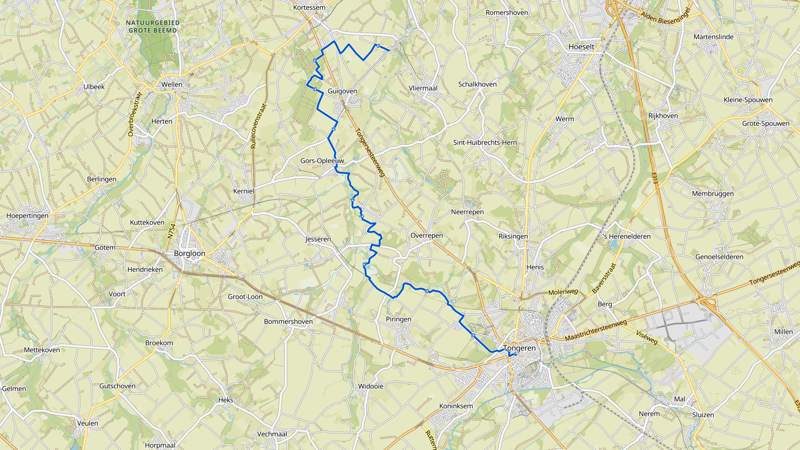
Overview map:
Stats:
| Start: | Wintershoven (BE) |
| Coordinates (DD): | 50.851600 / 5.419116 |
| End: | Tongeren (BE) |
| Coordinates (DD): | 50.769079 / 5.487917 |
| Distance: | 17,4 kilometers |
| Ascent: | 160 meters |
| Descent: | 100 meters |
| Path, dirt road, gravel, nature trail: | 86% |
| Asphalt, road | 14% |
| More additional info like GPX track: | Go to Komoot* page here… (external) |
| Print: | Click for download here… (pdf) |
- *Komoot is a navigation and route-planning app that enables you to create and follow routes that are based on walking/riding type and ability. Be aware you have to sign up for free to have access to the app.
See and share with QR code:

You will see stage 11. when you scan the QR code (In the app Komoot).
Highlights:
Specific local info:


Roman history
Magnus Carolus
Water sources
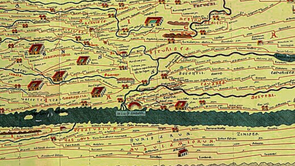
Around 19 BC. the Romans from Italy, led by Julius Caesar invaded the Euregio Meuse-Rhine and remained until 450 AD.
In the early Middle Ages, Maastricht consisted of a number of residential areas, churches, a toll office and a fortified manor court on the Vrijthof.
The water source of Saint Servatius is in outskirts of the city Maastricht and claims to be the oldest city of the Netherlands.


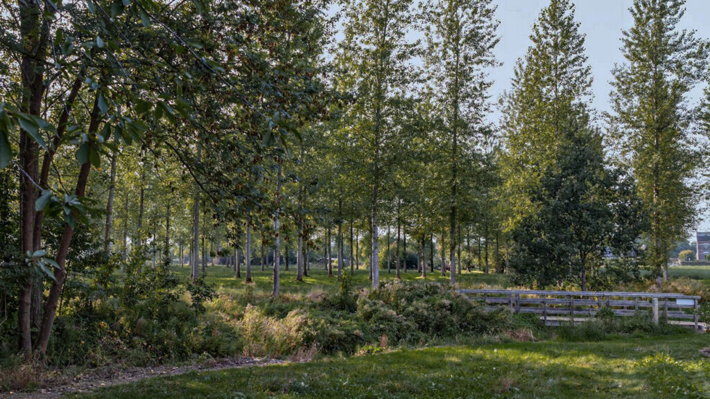
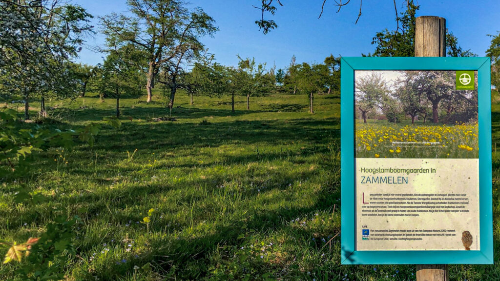
Nature
WW1
WW2
n the early Middle Ages, Maastricht consisted of a number of residential areas, churches, a toll office and a fortified manor court on the Vrijthof.
n the early Middle Ages, Maastricht consisted of a number of residential areas, churches, a toll office and a fortified manor court on the Vrijthof.
n the early Middle Ages, Maastricht consisted of a number of residential areas, churches, a toll office and a fortified manor court on the Vrijthof.


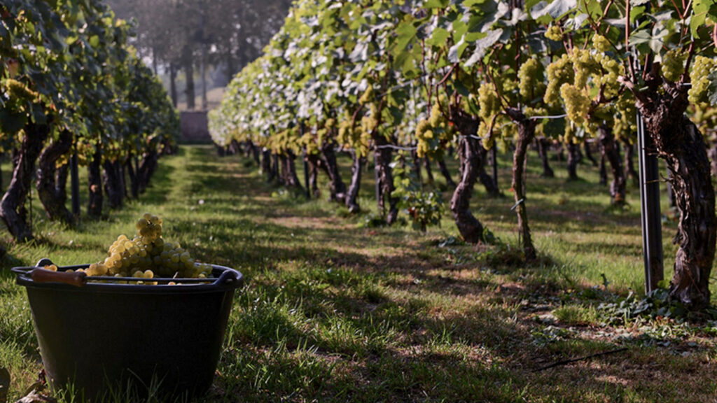
Local products
Stories
Sleeping suggestions
n the rest of the Netherlands, the city Maastricht is often seen as “foreign“, mainly because of its peripheral location near Belgium and
n the rest of the Netherlands, the city Maastricht is often seen as “foreign“, mainly because of its peripheral location near Belgium and
n the rest of the Netherlands, the city Maastricht is often seen as “foreign“, mainly because of its peripheral location near Belgium an
Public transport:
Industrial heritage:

