Stage 15. Pepinster (BE) to Herve (BE)

Pepinster traditionally had many watermills, due to its location between two fast-flowing rivers. In the 18th century, four watermills were made suitable for the textile industry, which flourished in the area around Verviers.
One of the largest companies in the 19th century was the cloth factory of Lieutenant & Peltzer.
Under the name Textile de Pepinster, the company blossomed in the 20th century. Some of the buildings were demolished in 2012, but the Art Deco facade along the stream Vesder is a protected industrial monument.
Pepinster was badly hit by the July 2021 floods. Both the Vesder and the Hoëgne overflowed, causing devastating water and mudslides. The material damage was enormous. After the disaster, King Philippe and Queen Mathilde of Belgium among others visited the town.
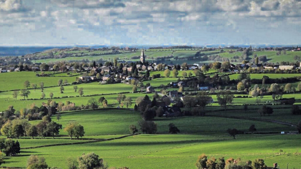
The city of Herve gave its name to the surrounding “Land of Herve”. The Land of Herve is a group of villages nestled in this part of Liège that stretches between the rivers Meuse and Vesder.
In this area we find traces of all periods. The first man dragged flint stone, rock that was abundantly found here. With the arrival of the Romans large estates arose, which the residents called “villa”. The most important villa is undoubtedly Villa Fouron, which later became a Merovingian and much later a Carolingian palace. Charlemagne/Magnus Carolus undoubtedly went hunting in the vast forests that covered the plateau. In the city there are only beautiful 18th-century houses and a monument that goes by the name Les Six Fontaines. Each of the six fountaines is fed with water from a different source.
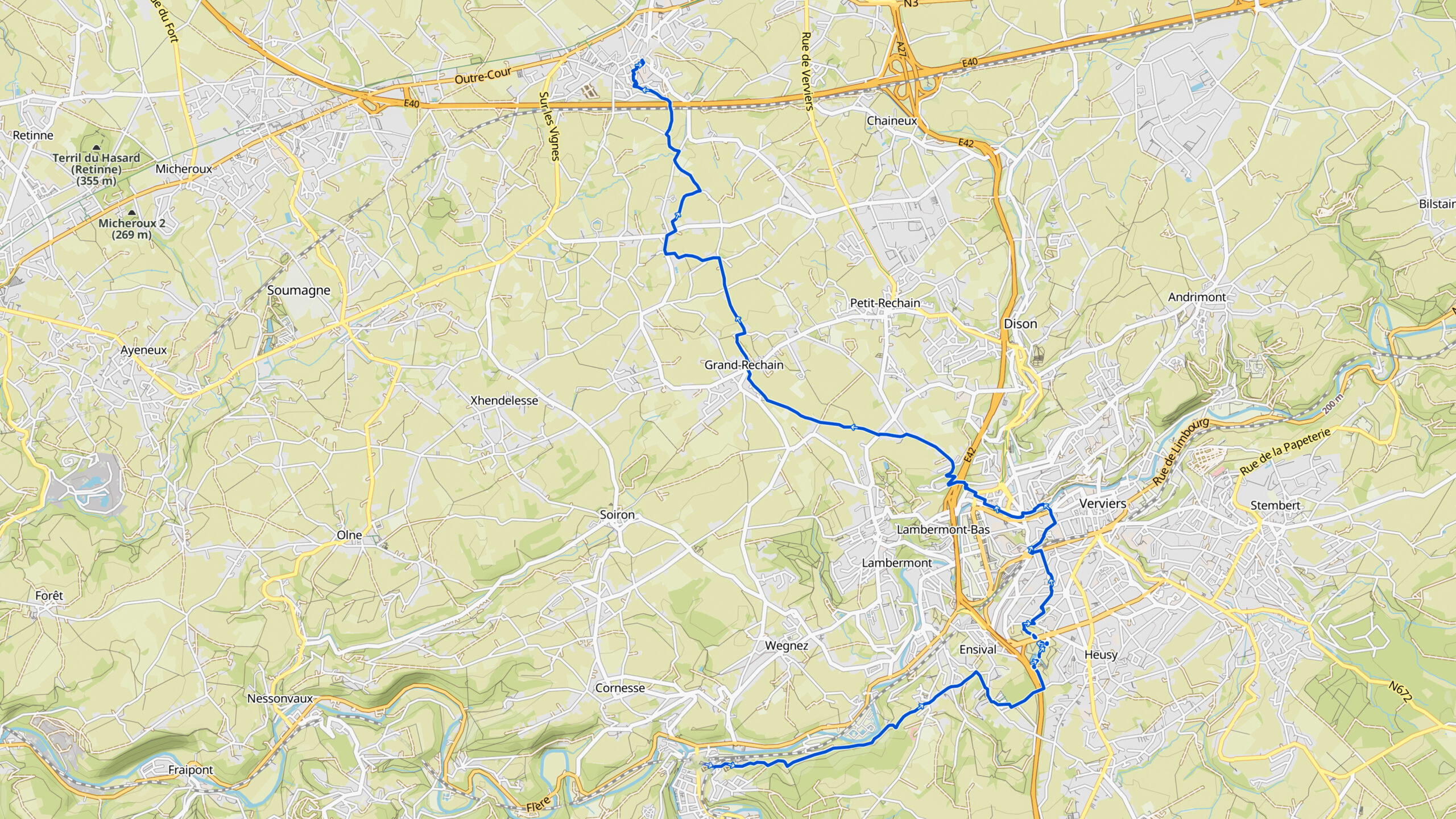
Overview map:
Stats:
| Start: | Pepinster (BE) |
| Coordinates (DD): | 50.568421 / 5.803283 |
| End: | Herve (BE) |
| Coordinates (DD): | 50.639762 / 5.795313 |
| Distance: | 17,8 kilometers |
| Uphill: | 410 meters |
| Downhill: | 260 meters |
| Path, dirt road, gravel, nature trail: | 94% |
| Asphalt, road: | 6% |
| More additional info like GPX track: | Go to Komoot* page here… (external) |
| Print: | Go for download here… (pdf) |
- *Komoot is a navigation and route-planning app that enables you to create and follow routes that are based on walking/riding type and ability. Be aware you have to sign up for free to have access to the app.
See and share with QR code:

You will see stage 15. when you scan the QR code (In the app Komoot).
Highlights:
Specific local info:


Roman history
Magnus Carolus
Water sources


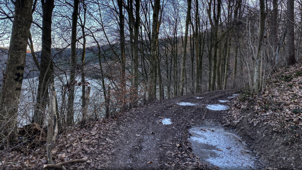
Nature
WW1
WW2


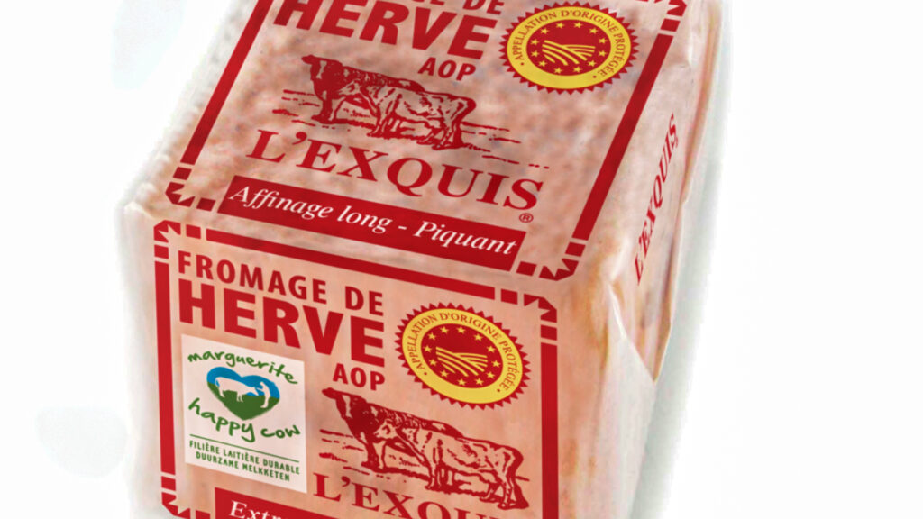
Local products
Stories
Sleeping suggestions
Public transport:
Industrial heritage:

