Stage 17. Aubel (BE) to Fouron-Saint-Martin (BE)

Aubel is known for its regional products: Herve cheese, syrup, cider and beer. These are traded in the markets on Tuesday and Sunday mornings. In the past, the Aubel market was well known. Farmers from far and wide came to Aubel to sell their products.
Farmers from far and wide came to Aubel to sell their products. The farmers even visited the Aubel market from the Sittard area (about 35 km away). Especially the cheese from Aubel, the Aubeloise is very well known among enthusiasts. It is a cheese that has a sharp and spicy taste and also smells that way. The cheese is protected as Herve cheese by means of a European qualification: protected designation of origin.
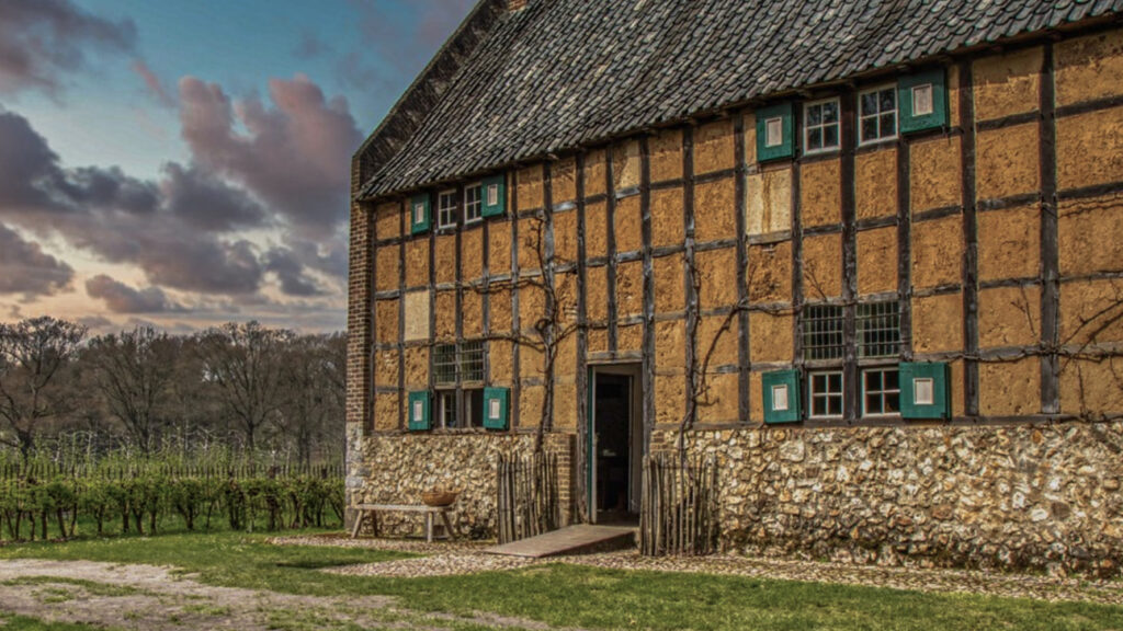
The village is Fouron-Saint-Martin is located in the valley of the Voer. After the French period, this village became Belgian. When Belgium became independent, geographer Philippe Vandermaelen made an inventory of `Fouron-Saint-Martin with 6 manor farms, 170 rural houses, 70 huts (“cabanes”), a church, a chapel, a paper factory, two mills, three breweries, a castle and a school in this village.
There were 1091 inhabitants. The inventory also includes details on the natural environment, soils, agricultural production and livestock (115 draft horses, 396 cows, 600 sheep, 180 pigs and 8 goats). In 1962, after the official language border was established, Saint-Martens-Fouron was transferred to the province of Limburg. Saint-Martens-Fouron was an agricultural and fruit-growing village, but from the end of the 19th century many fields were converted into meadows. Silex (flint) was extracted and used in housing construction. There was and is hardly any industry, so many people left. The village gained in importance with the construction of the Saint-Martens-Fouron railroad station. People found work in Maastricht, Visé and Liège and from the end of the 20th century Saint-Martens-Fouron became a popular place to live among the Dutch.
Overview map:
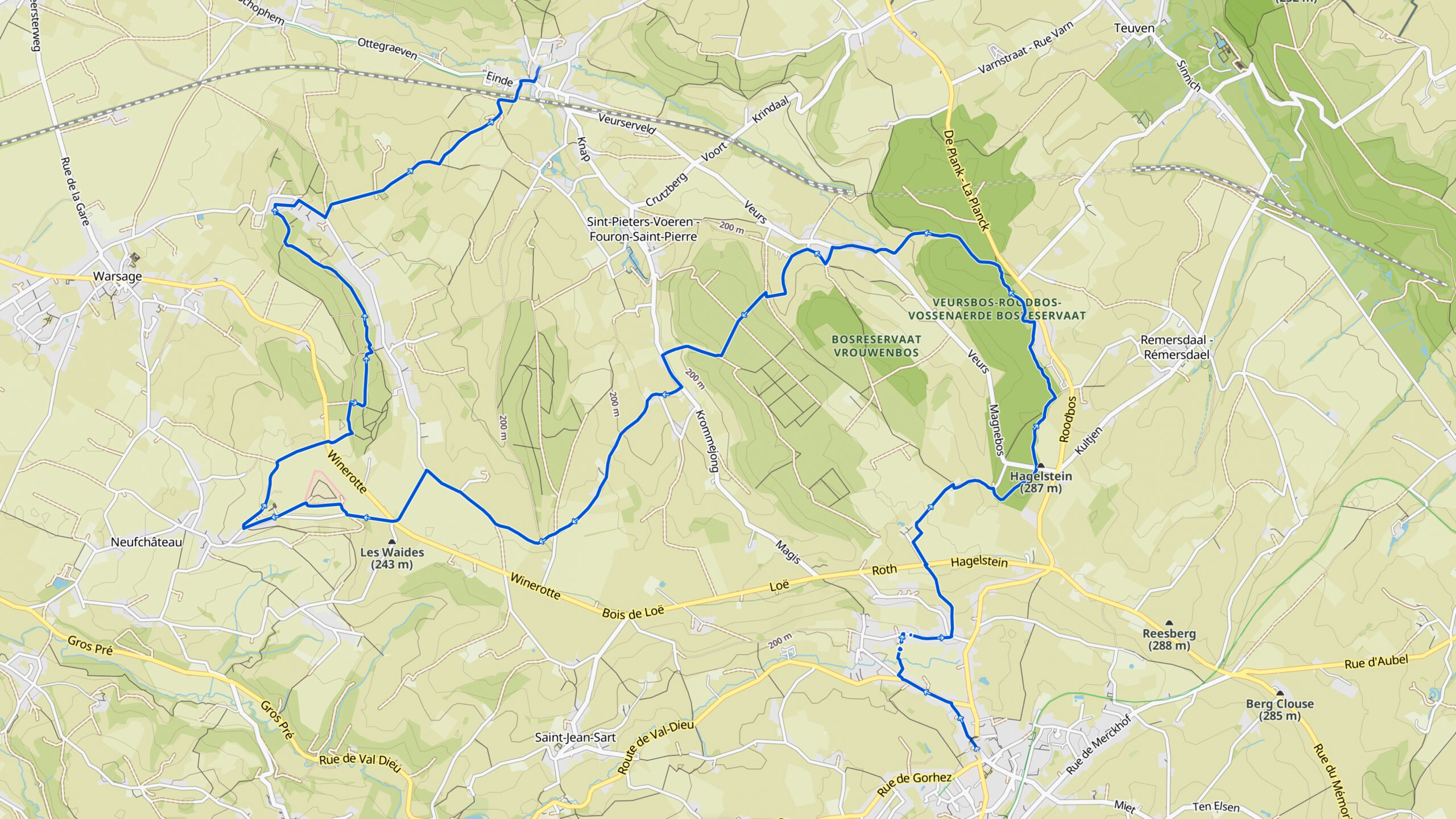
Stats:
| Start: | Aubel (BE) |
| Coordinates (DD): | 50.703739 / 5.857328 |
| End: | Fourons Saint-Martin (BE |
| Coordinates (DD): | 50.749482 / 5.813054 |
| Distance: | 19,3 kilometers |
| Uphill: | 290 meters |
| Downhill: | 390 meters |
| Path, dirt road, gravel, nature trail: | 93% |
| Asphalt, road: | 7% |
| More additional info like GPX track: | Go to Komoot* page here…. (external) |
| Print: | Go for download here… (pdf) |
- *Komoot is a navigation and route-planning app that enables you to create and follow routes that are based on walking/riding type and ability. Be aware you have to sign up for free to have access to the app.
See and share with QR code:

You will see stage 17. when you scan the QR code (In the app Komoot).
Highlights:
Specific local info:


Roman history
Magnus Carolus
Water sources
Nature
WW1
WW2
