Stage 18. Sint-Martens-Voeren to (BE) to Teuven (BE)

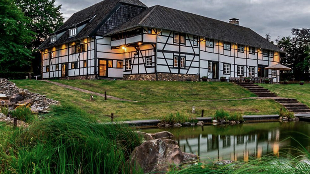
The village is Sint-Martens-Voeren is located in the valley of the Voer. After the French period, this village became Belgian. Sint-Martens-Voeren was an agricultural and fruit-growing village, but from the end of the 19th century many fields were converted into meadows.
Silex (flint) was extracted and used in housing construction. There was and is hardly any industry, so many people left. The village gained in importance with the construction of the Sint-Martens-Voeren railroad station. People found work in Maastricht, Visé and Liège and from the end of the 20th century Sint-Martens-Voeren became a popular place to live among the Dutch.
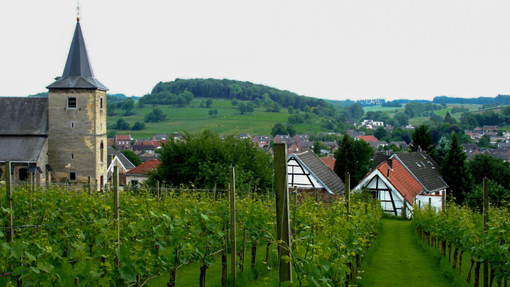
Teuven is a church village in the Belgian province of Limburg in the Tongeren district. When Belgium became independent, geographer Philippe Vandermaelen made an inventory of 50 houses in the center of this village, a church, a town hall, a mill, two castles, a brewery and a primary school. The main income of Teuven was agriculture. In the second half of the 19th century, the conversion to farming began. There is no industry and the population has steadily declined, although commuters have settled in Teuven who work in Liège, Maastricht or Aachen.
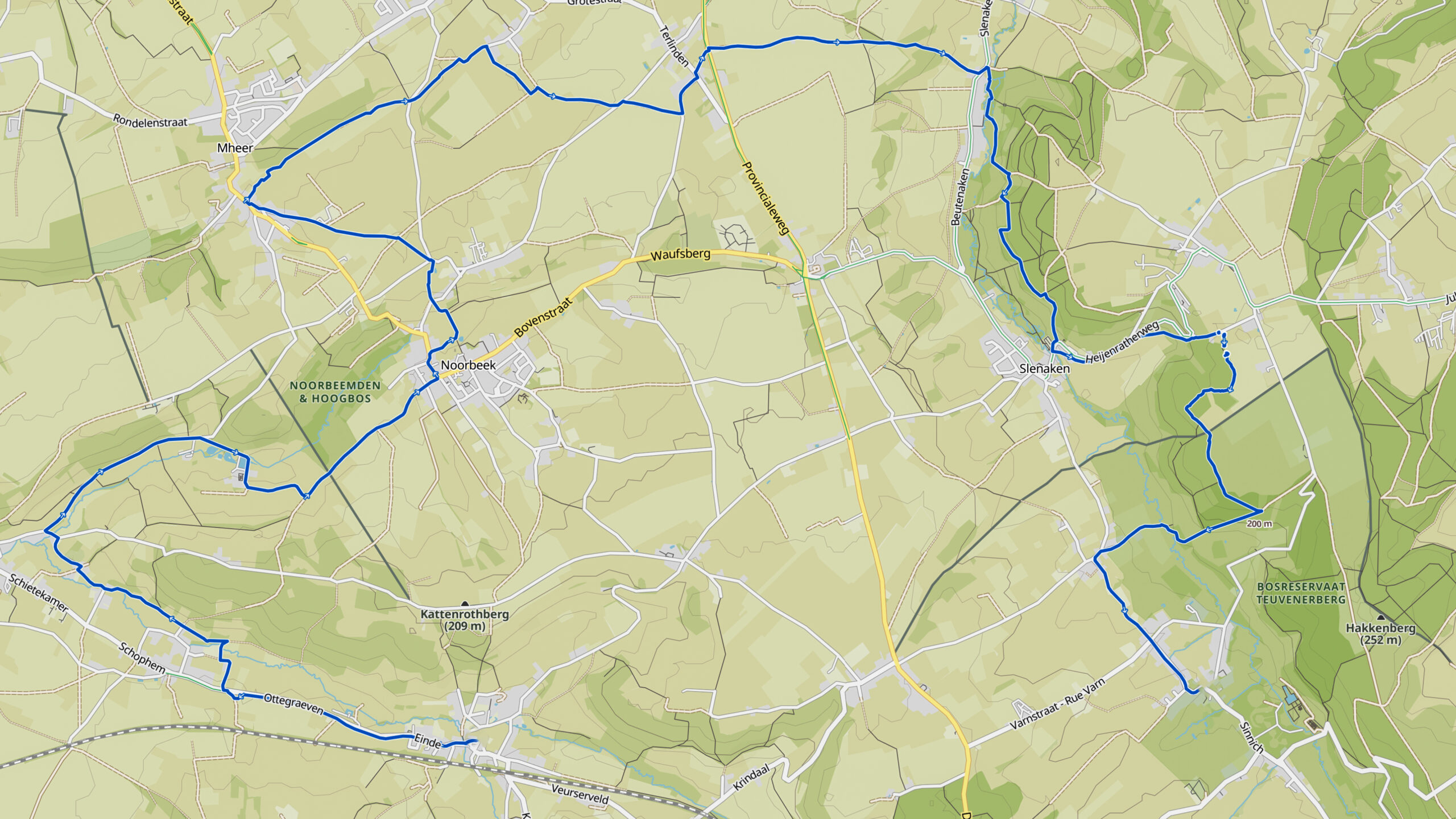
Overview map:
Stats:
| Go for download here… (pdf) | Sint-Martens-Voeren (BE) |
| Coordinates (DD): | 50.749482 / 5.813054 |
| End: | Teuven (BE) |
| Coordinates (DD): | 50.751664 / 5.875671 |
| Distance: | 21,4 kilometers |
| Uphill: | 310 meters |
| Downhill: | 260 meters |
| Path, dirt road, gravel, nature trail: | 87% |
| Asphalt, road: | 13% |
| More additional info like GPX track: | Go to Komoot* page here… (external) |
| Print: | Go for download here… (pdf) |
- *Komoot is a navigation and route-planning app that enables you to create and follow routes that are based on walking/riding type and ability. Be aware you have to sign up for free to have access to the app..
See and share with QR code:

You will see stage 18. when you scan the QR code (In the app Komoot).
Highlights:
Specific local info:


Roman history
Magnus Carolus
Water sources


Nature
WW1
WW2


Local products
Stories
Sleeping suggestions
Public transport:
Industrial heritage:

