Stage 19. Teuven to (BE) to Calamine (BE)

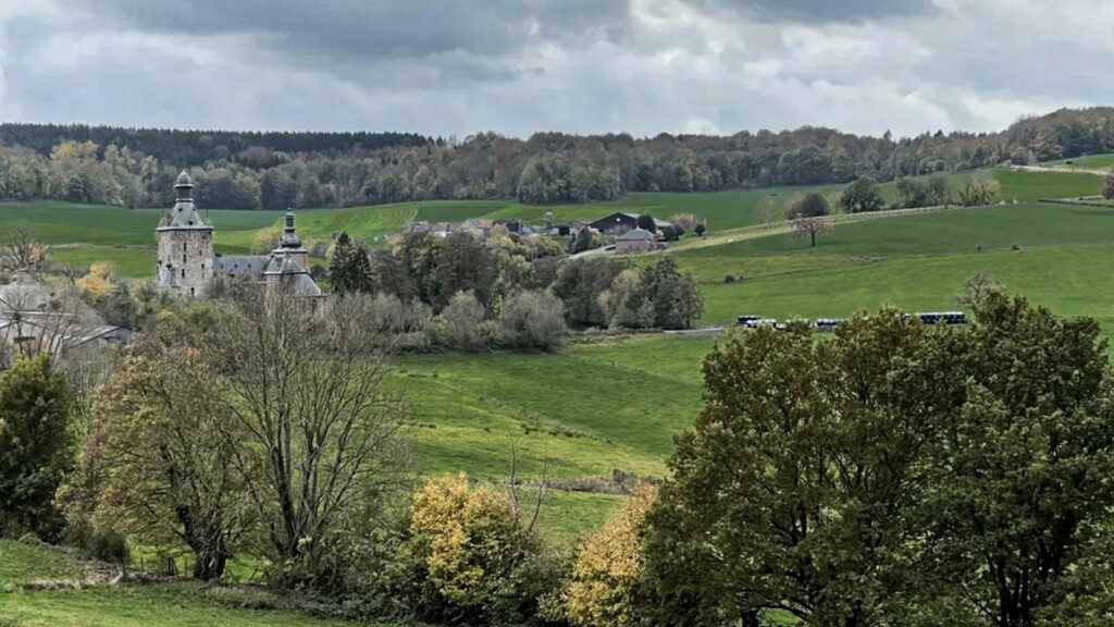
Teuven is a church village in the Belgian province of Limburg in the Tongeren district. When Belgium became independent, geographer Philippe Vandermaelen made an inventory of 50 houses in the center of this village, a church, a town hall, a mill, two castles, a brewery and a primary school.
Kelmis (La Calamine) is located at the frontier between Belgium, Germany, and the Netherlands. It’s the northernmost town in the German-speaking community of Belgium and is grown around the Altenberg zinc mine.
After the fall of Napoleon, Prussia and the Netherlands could not agree on the distribution of the profits of the mine, this area has been an independent state for more than 100 years “Neutral-Moresnet” (1816-1918).
The director of the Vieille Montagne mine was also head of state. So it was an independent region even after the independence of Belgium in 1830. The zinc mine produced zinc ore called “Galmei” or “Calamine”. The produced ore was roasted in local shaft furnaces and then the zinc ore was converted into zinc metal by reduction with coal.
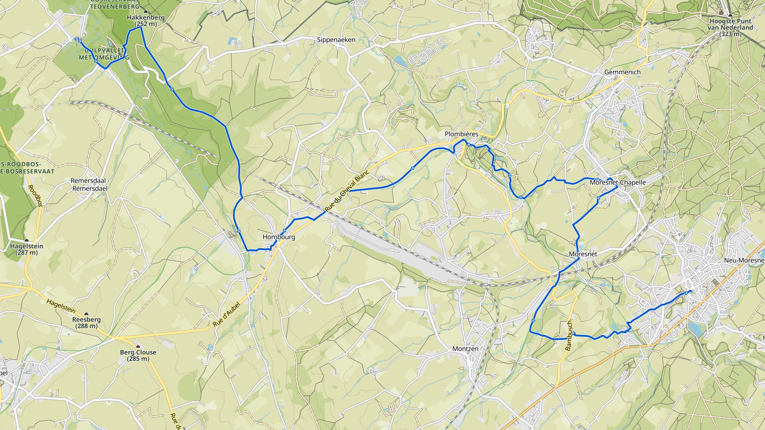
Overview map:
Stats:
| Start: | Teuven (BE) |
| Coordinates (DD): | 50.751664 / 5.875671 |
| End: | Calamine / Kelmis (BE) |
| Coordinates (DD): | 50.715938 / 6.013369 |
| Distance: | 19,8 kilometers |
| Downhill: | 310 meters |
| Uphill: | 280 meters |
| Path, dirt road, gravel, nature trail: | 56% |
| Asphalt, road: | 44% |
| More additional info like GPX track: | Go to Komoot* page here… (external) |
| Print: | Go for download here… (pdf) |
- *Komoot is a navigation and route-planning app that enables users to create and follow routes that are based on walking/riding type and ability.
See and share with QR code:

You will see stage 19. when you scan the QR code (In the app Komoot app).
Highlights:
Neutral Moresnet, officially. The undivided area of Moresnet was a neutral area from 1816 to 1920 of barely 344 hectares, which belonged to both the the Netherlands and to Prussia. The area, in the shape of an obtuse triangle was south of the Vaalserberg and extended to the main road from Aachen to Liège.
Neutral Moresnet arose after the definitive fall of Napoleon and after the Netherlands and Prussia did not agree on the possession of a valuable zinc quarry at Kelmis during the reallocation of Europe. Moresnet was known as a zinc exporter, a tax -, a smuggling haven and briefly as a potential Esperanto state. One of the cartographic features was that it had a four-country point with Belgium, the Netherlands and Germany.
Specific local info:


Roman history
Magnus Carolus
Water sources


Nature
WW1
WW2


Local products
Stories
Sleeping suggestions
Public transport:
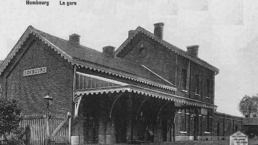
Industrial heritage:

