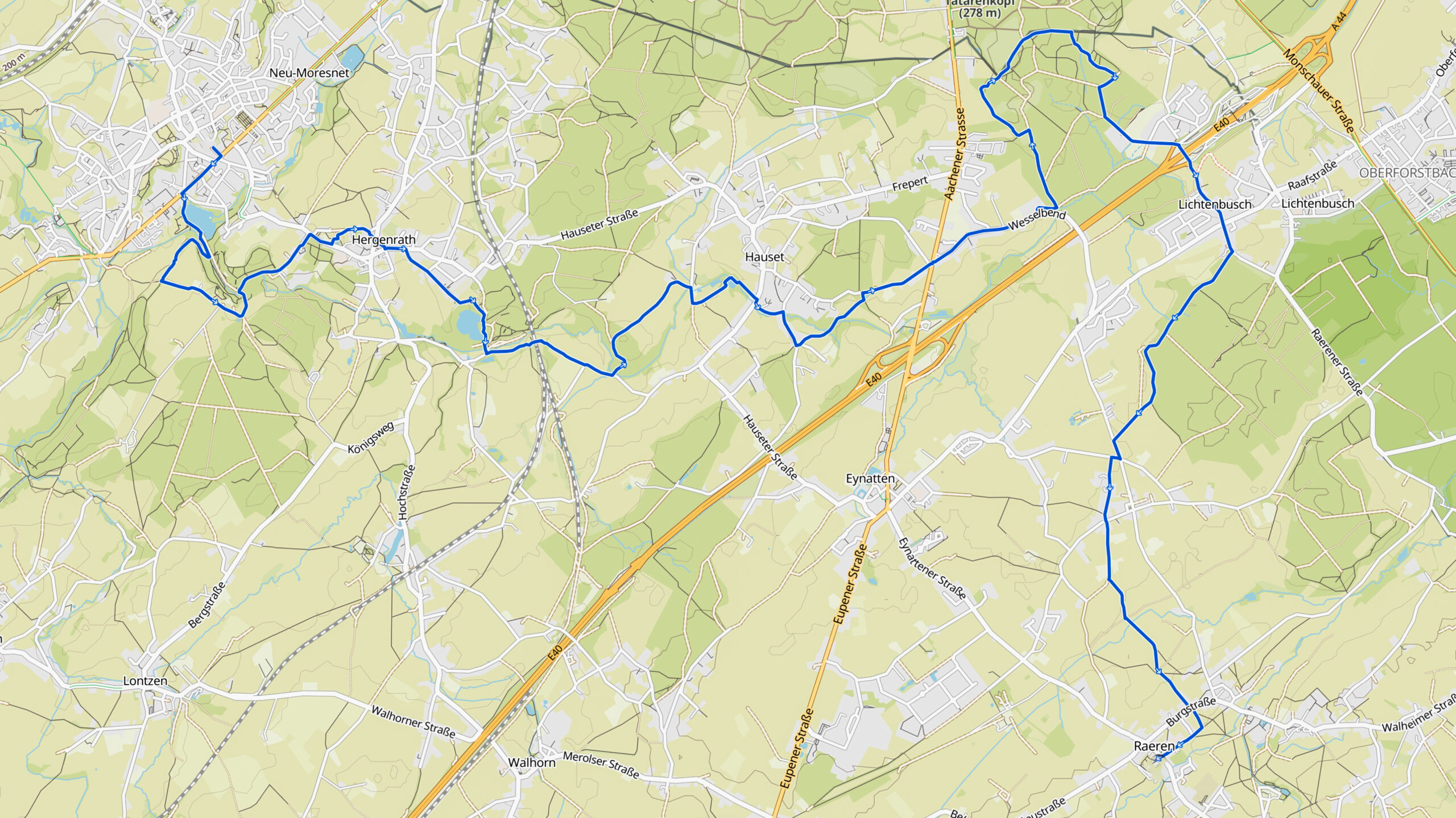
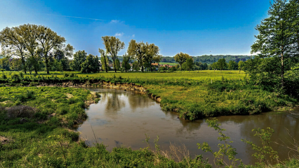
Stage 20. Kelmis to (BE) to Raeren (BE)

Kelmis (La Calamine) is located at the frontier between Belgium, Germany, and the Netherlands. It’s the northernmost town in the German-speaking community of Belgium.
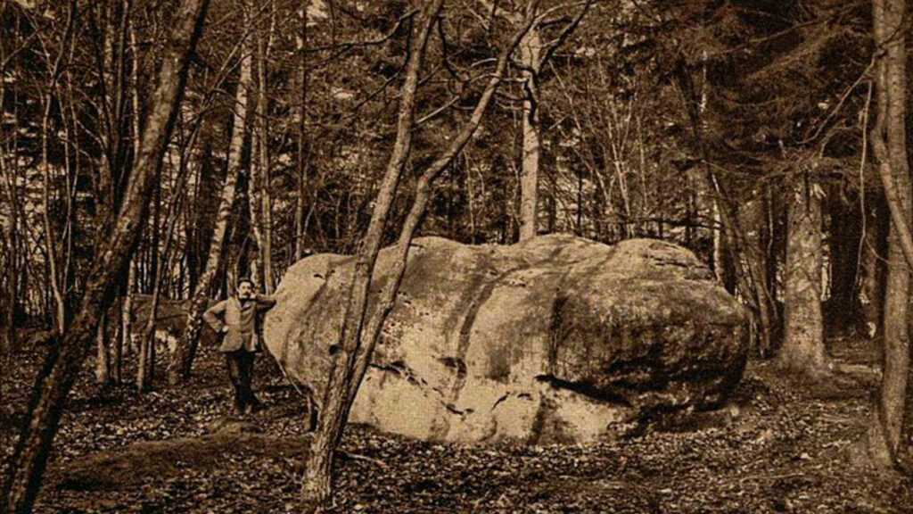
After the fall of Napoleon, Prussia and the Netherlands could not agree on the distribution of the profits of the mine, this area has been an independent state for more than 100 years “Neutral-Moresnet” (1816-1918).
The director of the Vieille Montagne mine was also head of state. So it was an independent region even after the independence of Belgium in 1830. The zinc mine produced zinc ore called “Galmei” or “Calamine”. The produced ore was roasted in local shaft furnaces and then the zinc ore was converted into zinc metal by reduction with coal.
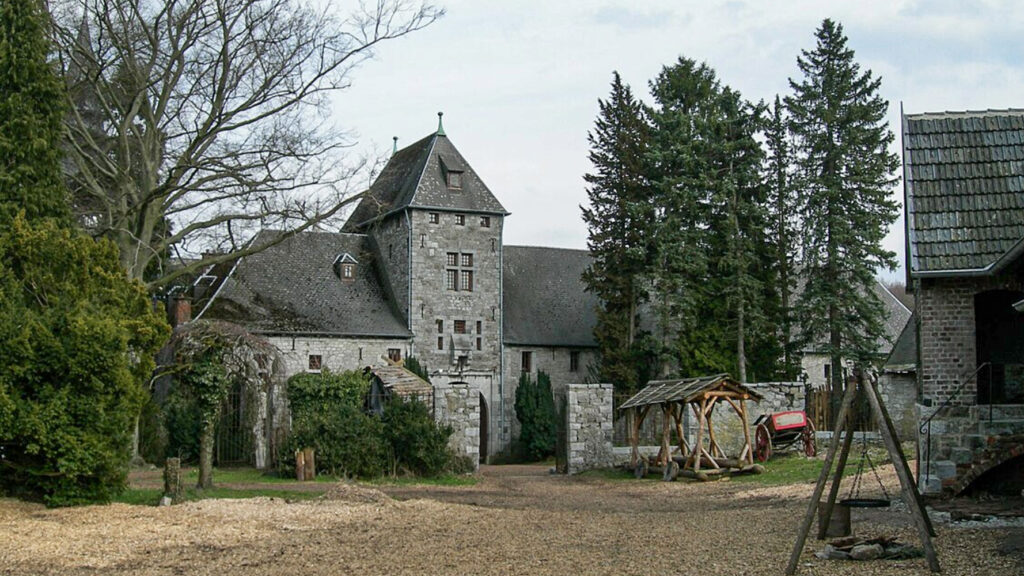
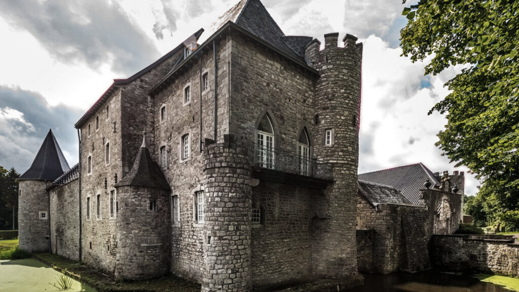
Raeren is a German-speaking city in the province of Liège in Belgium and has more than 10,000 inhabitants. Half have the German nationality. The name Raeren comes from “rooien” and refers to a settlement on a cleared spot in the Aachener Wald. This must have happened between 800 and 1200. The ceramics of Raeren became known in the 16th and 17th centuries and a number of copies are in various museums around the world. In 1815 it came to Prussia, later Germany and in 1920 it came to Belgium.
Overview map:
Stats:
| Start: | Kelmis (BE) |
| Coordinates (DD): | 50.715938 / 6.013369 |
| End: | Raeren (BE) |
| Coordinates (DD): | 50.676087 / 6.111485 |
| Distance: | 19,8 kilometers |
| Uphill: | 240 meters |
| Downhill: | 160 meters |
| Path, dirt road, gravel, nature trail: | 81% |
| Asphalt, road: | 19% |
| More additional info like GPX track: | Go to Komoot* page here… (external) |
| Print: | Click Go for download here… (pdf) |
- *Komoot is a navigation and route-planning app that enables you to create and follow routes that are based on walking/riding type and ability. Be aware you have to sign up for free to have access to the app.
See and share with QR code:

You will see stage 20. when you scan the QR code (In the app Komoot).
Highlights:
Specific local info:


Roman history
Magnus Carolus
Water sources


Nature
WW1
WW2


Local products
Stories
Sleeping suggestions
Public transport:
Industrial heritage:

