Stage 21. Raeren to (BE) to Henri-Chapelle (BE)

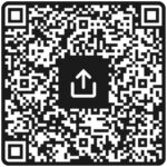
Raeren is a German-speaking city in the province of Liège in Belgium and has more than 10,000 inhabitants. Half have the German nationality. The name Raeren comes from “rooien” and refers to a settlement on a cleared spot in the Aachener Wald.
This must have happened between 800 and 1200. The ceramics of Raeren became known in the 16th and 17th centuries and a number of copies are in various museums around the world. In 1815 it came to Prussia, later Germany and in 1920 it came to Belgium.
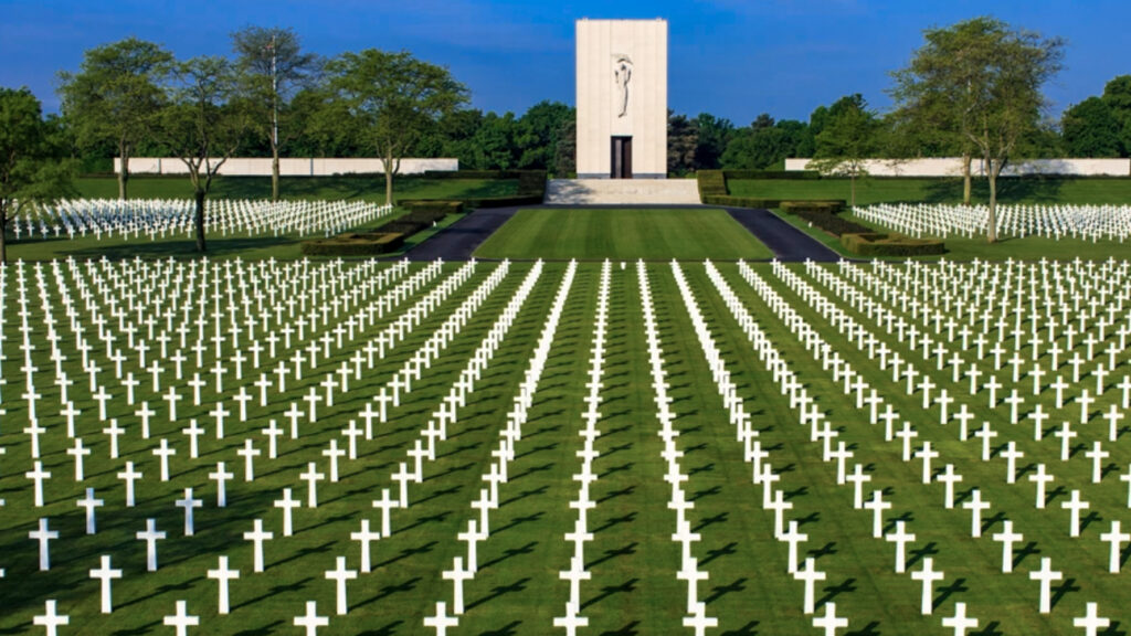
Henri-Chapelle is a Belgian village in the province of Liège.Located 17 kilometers from the frontier of Aachen. Just 300 metres west of the town, is the highest point of the Herve plateau, at 354 metres above sea level. Henri-Chapelle was its own municipality until January 1, 1977 when it was merged with Welkenraedt as part of the fusion of the Belgian municipalities.
Overview map:
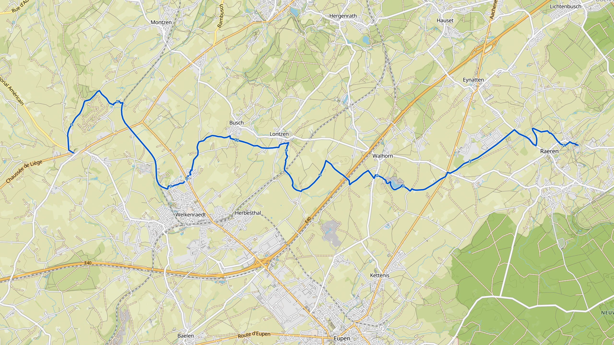
Stats:
| Start: | Raeren (BE) |
| Coordinates (DD): | 50.676087 / 6.111485 |
| End: | Henri-Chapelle (BE) |
| Coordinates (DD): | 50.676861 / 5.929758 |
| Distance: | 23,3 kilometers |
| Ascent: | 250 meters |
| Descent: | 190 meters |
| Path, dirt road, gravel, nature trail: | 80% |
| Asphalt, road: | 20% |
| More additional info like GPX track: | Go to Komoot* page here… (external) |
| Print: | Go for download here… (pdf) |
- *Komoot is a navigation and route-planning app that enables you to create and follow routes that are based on walking/riding type and ability. Be aware you have to sign up for free to have access to the app.
See and share with QR code:
You will see stage 21. when you scan the QR code (In the app Komoot).
Highlights:
Specific local info:


Roman history
Magnus Carolus
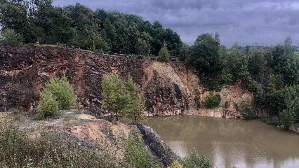
Water sources


Nature
WW1
WW2


Local products
Stories
Sleeping suggestions
Public transport:
Industrial heritage:

