Stage 23. Limbourg (BE) to Eupen (BE)

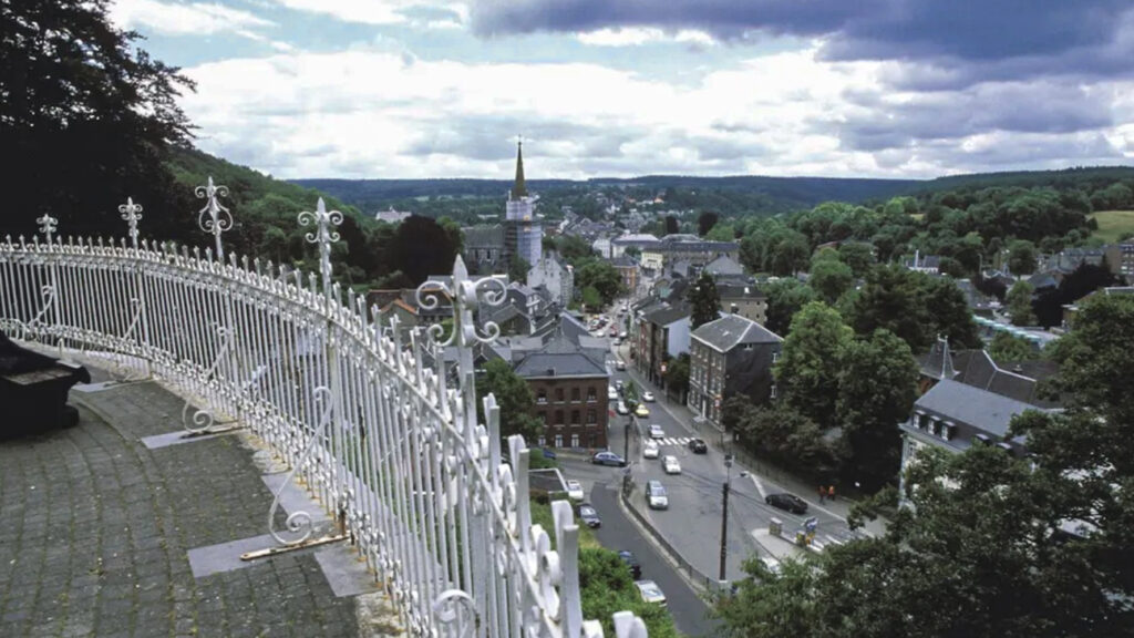
Limbourg was founded around the year 1000. The city had a reputation for being impregnable and therefore of great strategic importance. Together with Brabant, Limburg came into the possession of the Burgundian dukes in 1404.
During the revolt against Spain, the city was a small Protestant republic.
The city was occupied by the French in 1675. King Louis XIV had the castle and fortifications demolished before it was returned to the Spaniards three years later.
After the defeat of Napoleon Bonaparte, it came in 1815 to the Dutch and much later to the Belgian province of Liège.
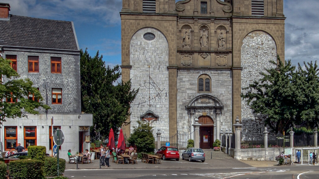
A large number of buildings disappeared in a fire in 1834. The buildings that are still standing today – 12 of them and the pavement of the main square are protected as monuments – date from the 17th, 18th and 19th centuries. The Gothic Saint George’s Church dates from the 15th century. Little has changed in the cityscape in the last 200 years.
The town has been recognized by the Walloon Region as a “patrimoine majeur” (exceptional cultural heritage).
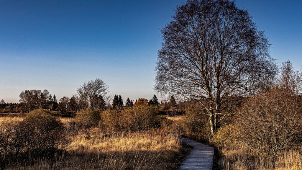
Eupen is the capital of East Belgium in the Belgium province of Liège and at the frontier Nature Reserve Hautes Fagnes in the Belgian Ardennes. First mentioned in 1213 as belonging to the duke of Limburg, the possession of Eupen passed to Brabant, Burgundy, the Roman Empire and France before being given in 1815 to Prussia.
In 1919, after the First World War and at the Treaty of Versailles, Eupen was definitely transferred with Malmedy from Germany to Belgium.
German remains the official language in Eupen and the city serves as the capital for Belgium’s German-speaking Community. The city has a small university, the Autonome Hochschule in der deutschsprachigen Gemeinschaft, offering bachelor’s degrees in education and nursing.
Eupen is considered in Belgium to be a Roman Catholic region with strongly conservative views.
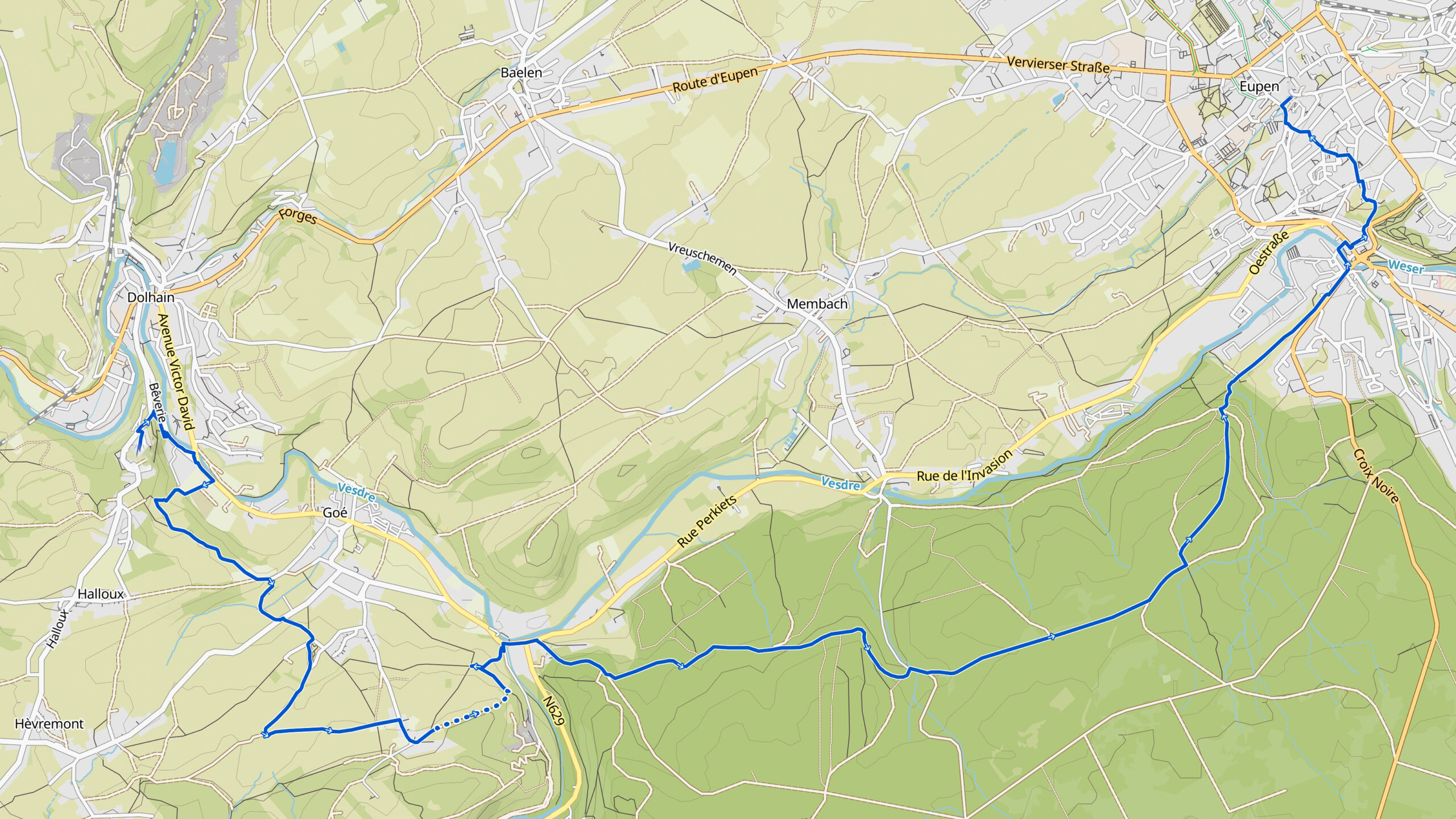
Overview map:
Stats:
| Start: | Limbourg (BE) |
| Coordinates (DD): | 50.676861 / 5.929758 |
| End: | Eupen (BE) |
| Coordinates (DD): | 50.630504 / 6.032076 |
| Distance: | 13,8 kilometers |
| Uphill: | 300 meters |
| Downhill: | 300 meters |
| Path, dirt road, gravel, nature trail: | 88% |
| Asphalt, road: | 12% |
| More additional info like GPX track: | Go to Komoot* pag here… (external) |
| Print: | Go for download here… (pdf) |
- *Komoot is a navigation and route-planning app that enables you to create and follow routes that are based on walking/riding type and ability. Be aware you have to sign up for free to have access to the app.
See and share with QR code:

You will see stage 23. when you scan the QR code (In the app Komoot).
Highlights:
Specific local info:


Roman history
Magnus Carolus
Water sources


Nature
WW1
WW2


Local products
Stories
Sleeping suggestions
Public transport:
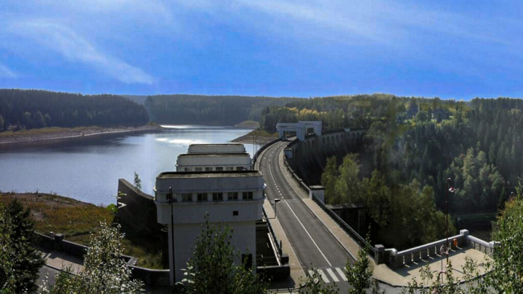
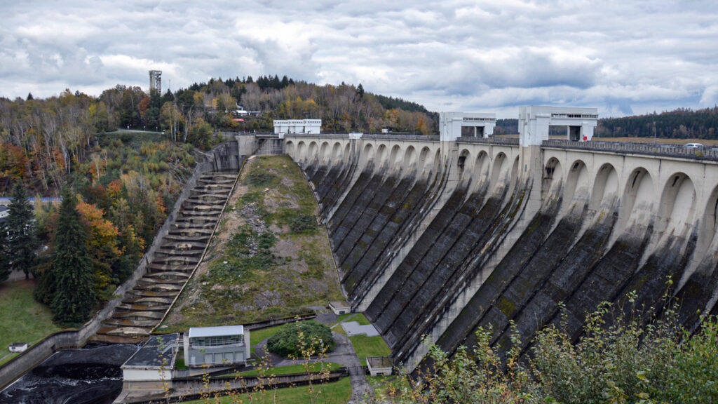
Industrial heritage:

