Stage 24. Eupen (BE) to Eupen (BE)

Eupen is the capital of East Belgium in the Belgium province of Liège and at the frontier Nature Reserve Hautes Fagnes in the Belgian Ardennes. First mentioned in 1213 as belonging to the duke of Limburg, the possession of Eupen passed to Brabant, Burgundy, the Roman Empire and France before being given in 1815 to Prussia.
In 1919, after the First World War and at the Treaty of Versailles, Eupen was definitely transferred with Malmedy from Germany to Belgium.
German remains the official language in Eupen and the city serves as the capital for Belgium’s German-speaking Community. The city has a small university, the Autonome Hochschule in der deutschsprachigen Gemeinschaft, offering bachelor’s degrees in education and nursing.
Eupen is considered in Belgium to be a Roman Catholic region with strongly conservative views.
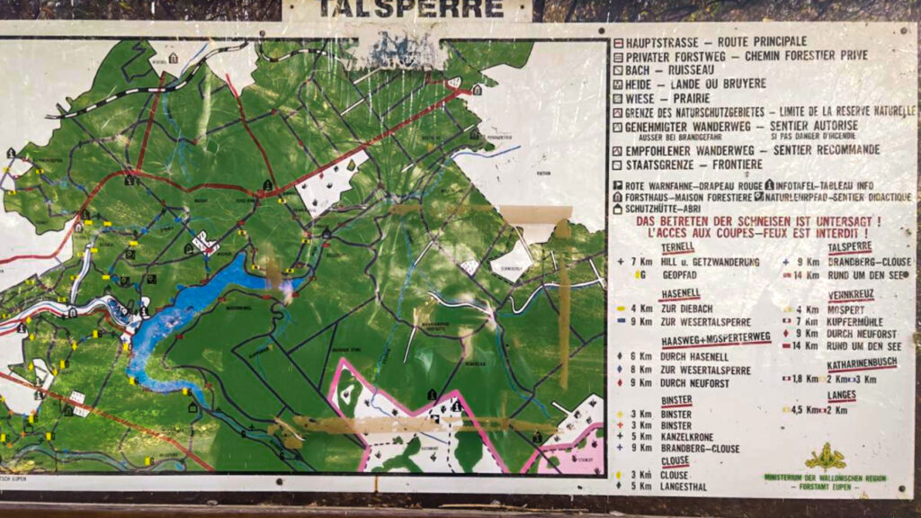
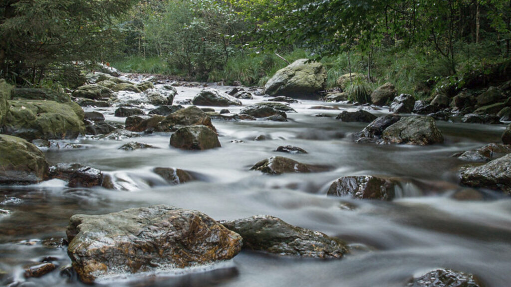
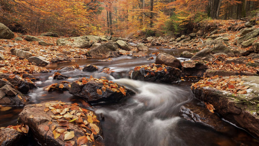
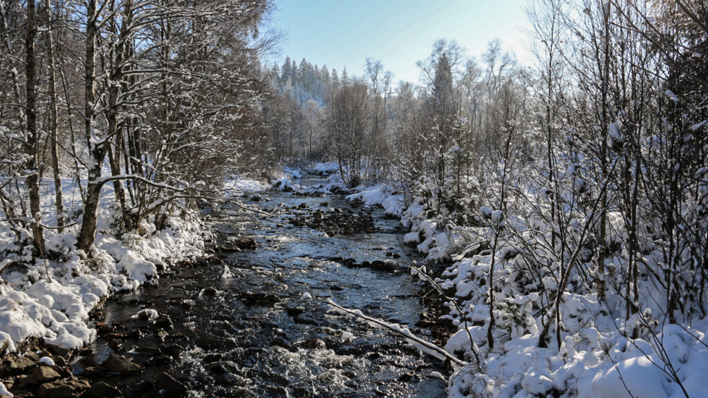
The Vesders dam (German: Wesertalsperre) is located on the Vesder, a few kilometers from Eupen. It is the area of the German-Belgian nature park Hautes Fagnes-Eifel. The Lake of Eupen is the reservoir with the largest (drinking) water in Belgium. Construction of the wall started in 1936.
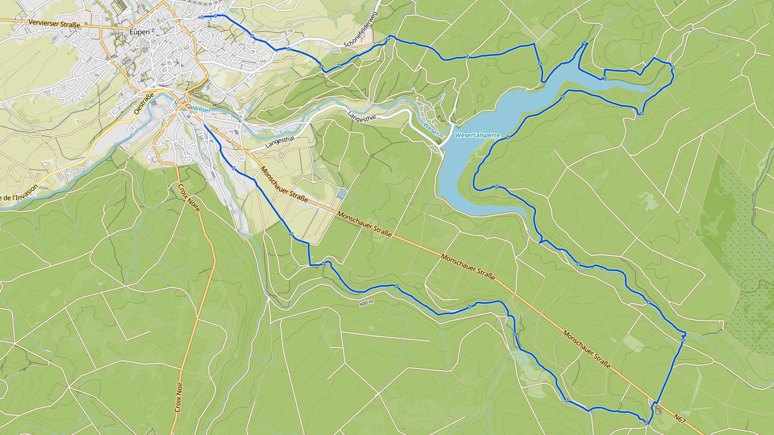
Overview map:
Stats:
| Start: | Eupen (BE) |
| Coordinates (DD): | 50.619927 / 6.043878 |
| End: | Eupen (BE) |
| Coordinates (DD): | 50.619927 / 6.043878 |
| Distance: | 26,3 kilometers |
| Ascent: | 450 meters |
| Descent: | 460 meters |
| Path, dirt road, gravel, nature trail: | 71% |
| Asphalt, road: | 29% |
| More additional info like GPX track: | Go to Komoot* page here… (external) |
| Print: | Click Go for download here… (pdf) |
- *Komoot is a navigation and route-planning app that enables you to create and follow routes that are based on walking/riding type and ability. Be aware you have to sign up for free to have access to the app.
See and share with QR code:

You will see stage 24. when you scan the QR code (In the app Komoot).
Highlights:
Specific local info:


Roman history
Magnus Carolus
Water sources


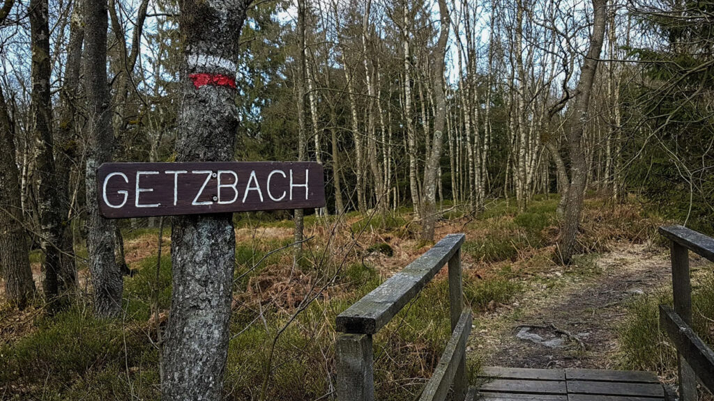
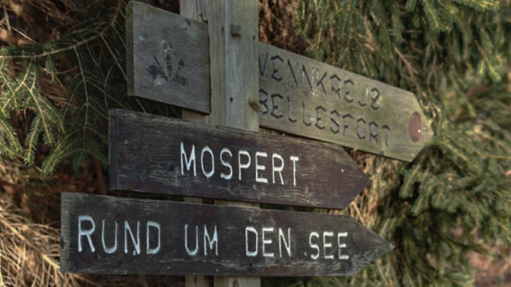
Nature
WW1
WW2


Local products
Stories
Sleeping suggestions
Public transport:
Industrial heritage:

