Stage 28. Hockai (BE) to Signal de Botrange (BE)

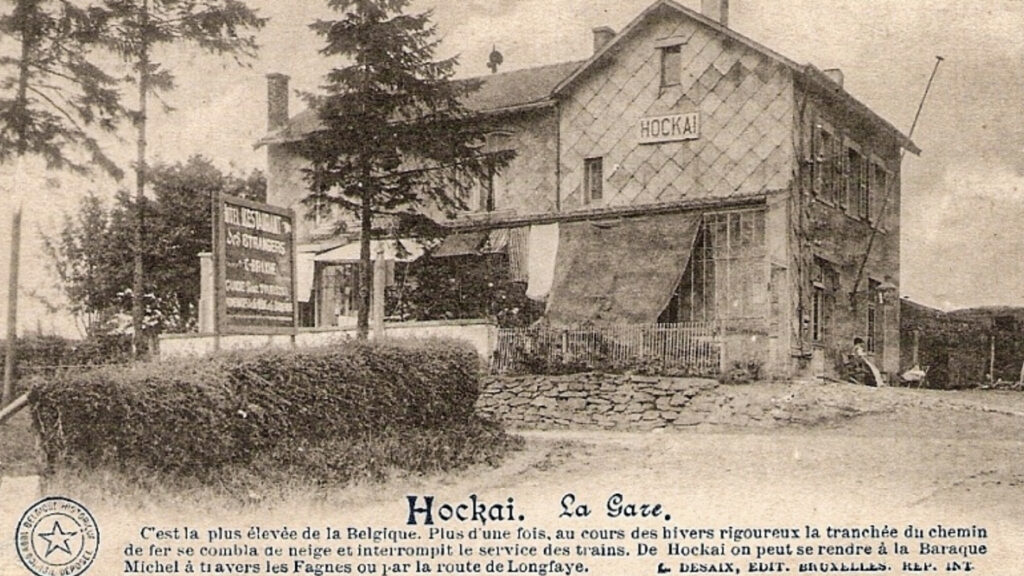
On an altitude of 555 meters Hockai is one of the highest villages of Belgium and situated in the far north of the municipality of Stavelot in the province of Liège.
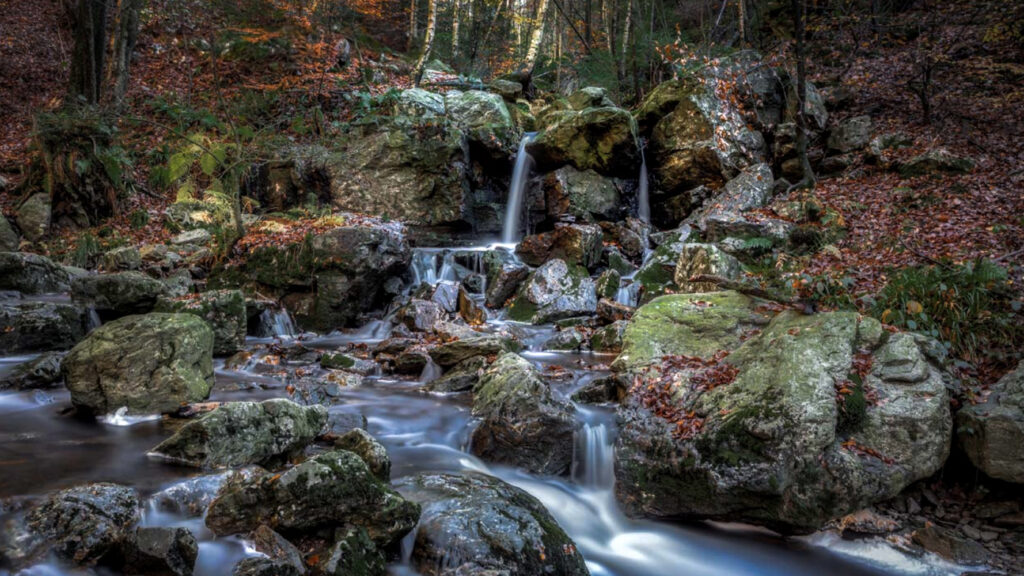
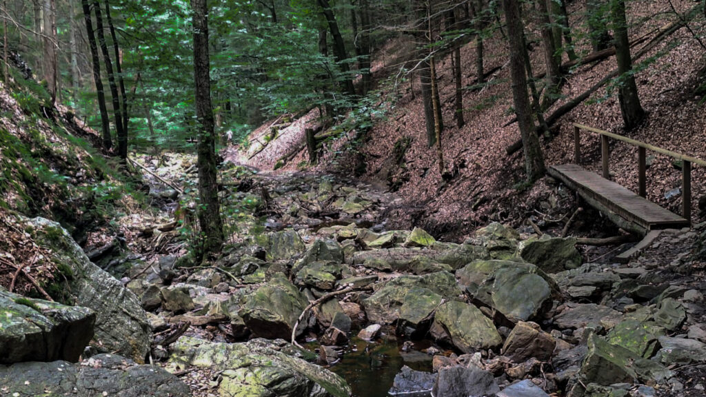
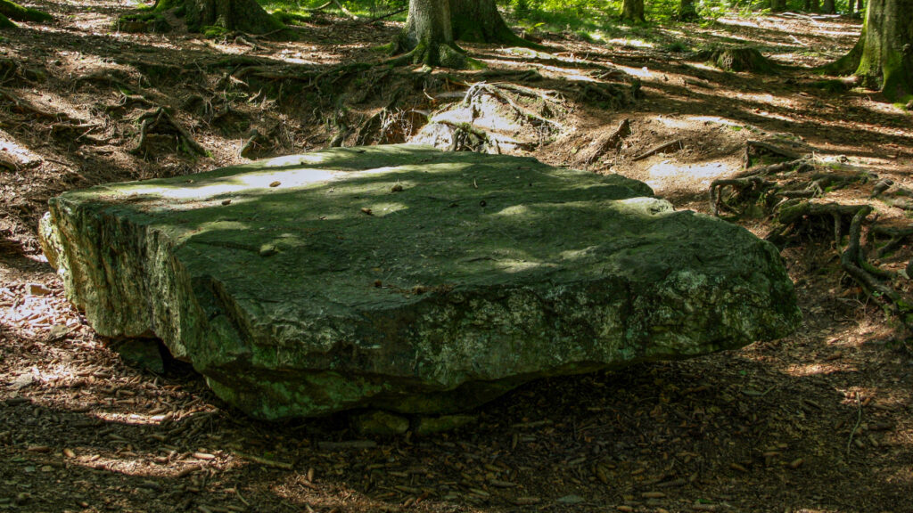
Till your finish there are a lots of woods, streams, more woods and spectacular climbs. There are plank paths along the streams la Hoëgne, la Sawe and la Satte and the ground can be really wet. In some places you really have to hold on to the railing because the planks are very slippery specially after a rain shower. And those plank paths are not always in excellent state so walking shoes are really required. Preferably shoes that are also waterproof.
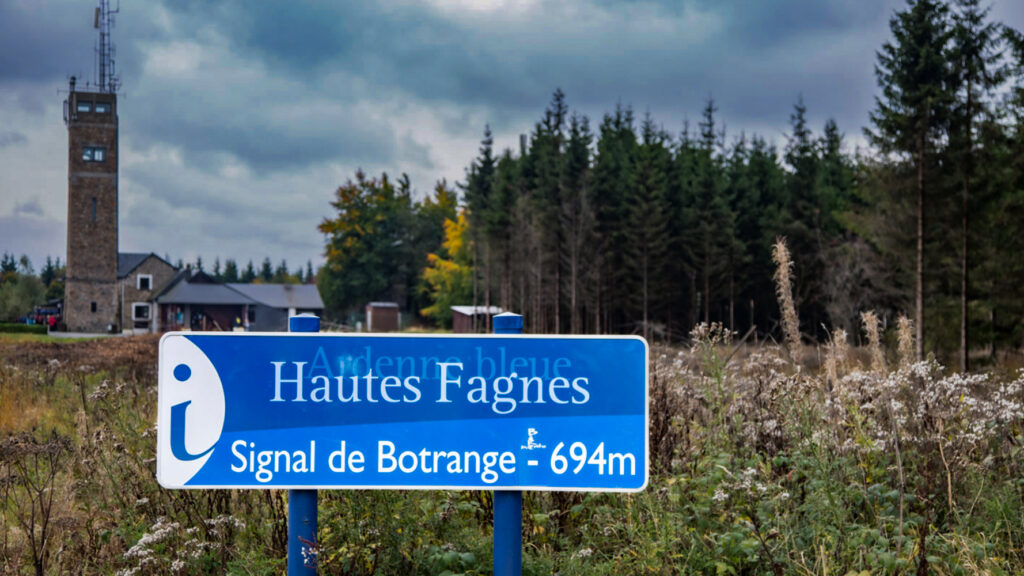
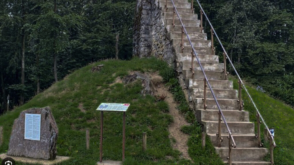
And once you arrive at Signal de Botrange try to climb the Baltia hill/monument, by climbing these stairs you can even reach above 700 meters. At that moment you are at the highest point in Belgium. An excellent opportunity to take picture: you are even on the top of the Benelux!
Although Signal de Botrange is not a state border, it marks a language border between the Roman languages (south and west) and Germanic languages (north and east).
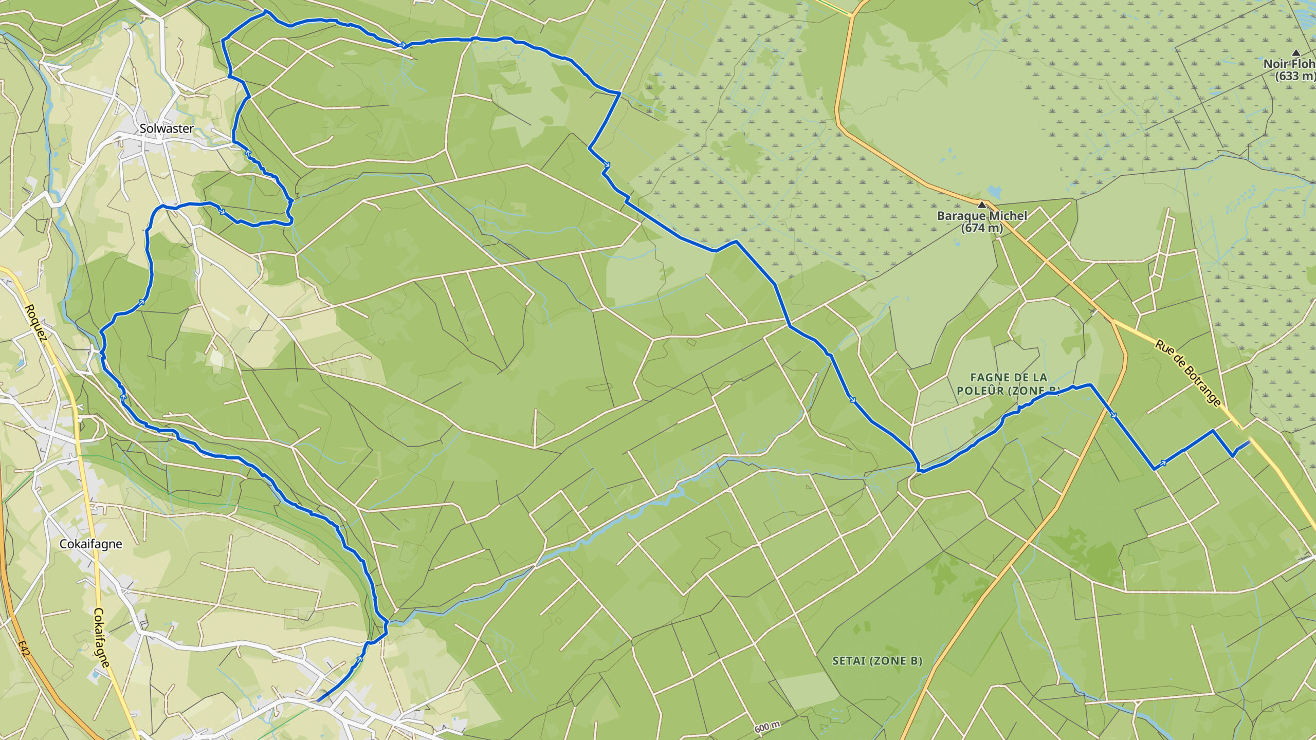
Overview map:
Stats:
| Start: | Jalhay |
| Coordinates (DD): | 50.481993 / 5.986158 |
| End: | Signal de Botrange (BE) |
| Coordinates (DD): | 50.50235 / 6.09297 |
| Distance: | 21,1 kilometers |
| Uphill: | 460 meters |
| Downhill: | 310 meters |
| Path, dirt road, gravel, nature trail: | 99% |
| Asphalt, road: | 1% |
| More additional info like GPX track: | Go to Komoot* page here… (external) |
| Print: | Click Go for download here… (pdf) |
- *Komoot is a navigation and route-planning app that enables you to create and follow routes that are based on walking/riding type and ability. Be aware you have to sign up for free to have access to the app.
See and share with QR code:

You will see stage 28. when you scan the QR code (In Komoot).
Highlights:
Pont du Centenaire (Bridge of 100 years) refers to 1930; the year in which the Kingdom of Belgium celebrated its 100th anniversary. In the past, the bridge was also called Le Pont de la Vecquée. The name Vecquée comes from the French word évêque which means bishop and refers to the prince-bishops of Liège who used this bridge to go to the abbeys of Stavelot and Malmedy.
And before that it was an old Gallic path during Roman times.
The special character of this wild environment was actually discovered for tourism around 1800. In 1849 Eugène Gens wrote “I don’t think there is a more primitive scenery in Belgium, so rough and sharp, so pure, wild and a mountainous landscape approaching”.
Writers in the 19th century were not afraid to make the most grotesque comparisons when it came to the stream la Hoëgne. Exploring the Hoëgne valley has been compared to Livingstone’s discovery of the Victoria Falls.
The fact is, those insanely exaggerated comparison worked, because in the first half of the twentieth century there are a dozen hotels built in the vicinity of the train stations. They all have attracted tourists with the Hoëgne hike as main attraction.
Initially, the valley was difficult to access, a tourist path and bridges were built in the second half of the 19th century. This was mainly the initiative of a Sart-Lez-Spa resident, Léonard Legras.
The water of the stream la Hoëgne is too acidic for fish, even flowers and plants find it difficult to find a home it is mainly mosses that dominate.
Specific local info:


Roman history
Magnus Carolus
Water sources


Nature
WW1
WW2


Local products
Stories
Sleeping suggestions
Public transport:
Industrial heritage:

