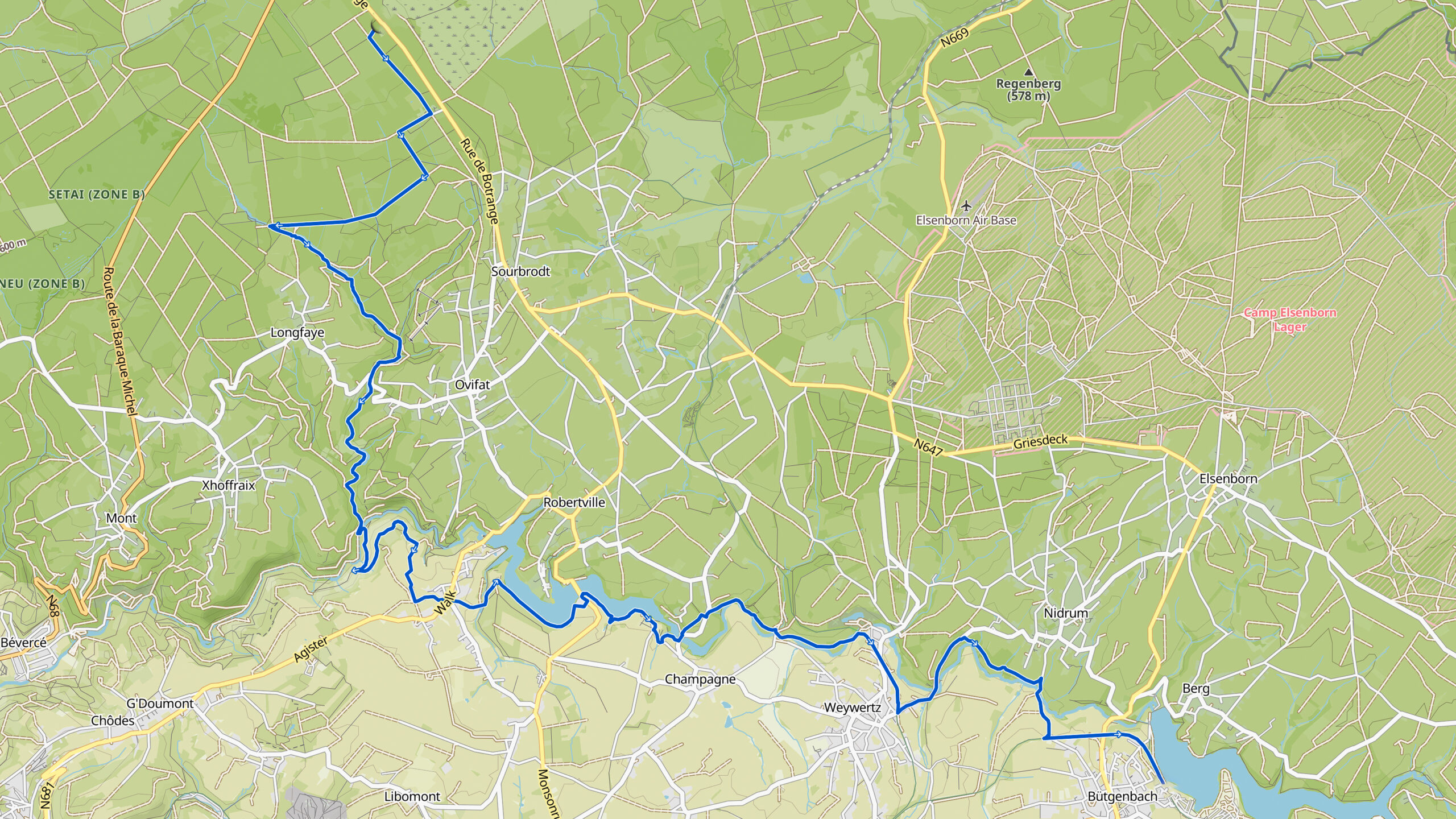
Stage 29. Signal de Botrange (BE) to Bütgenbach (BE)

Signal de Botrange is the highest point in Wallonia and in Belgium, located in the Hautes Fagnes (French), Hohes Venn (German) and Hoge Venen (Dutch), at 694 metres (2,277 feet). It is the top of a broad plateau and a road crosses the summit, passing a close by the café. Signal de Botrange experiences stronger winds than the centre of Belgium. The number of days of frost is over 130 days per year and the number of days of snowfall exceeds 35 days.
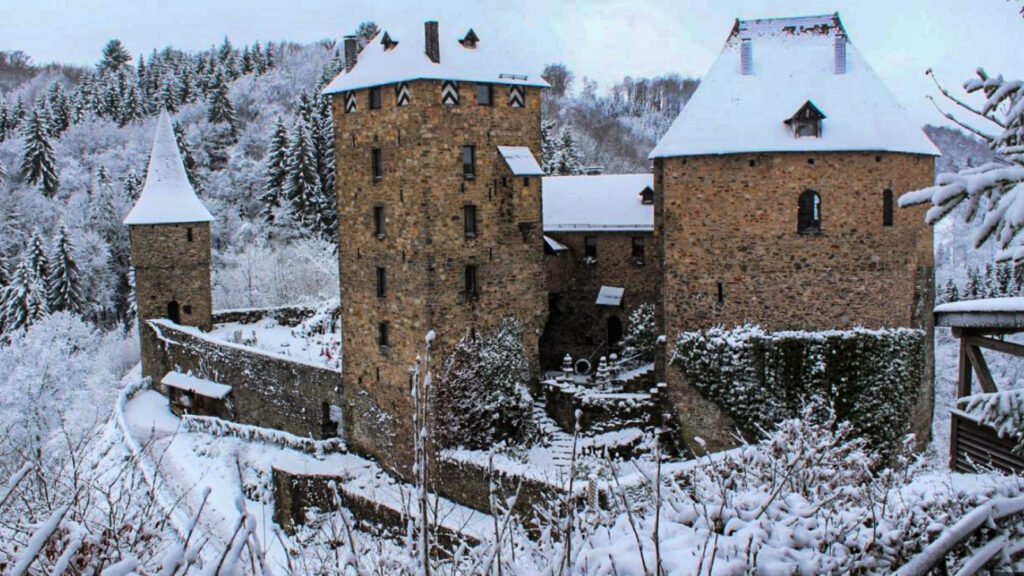
Bütgenbach (Province Liège) is located in the German-speaking eastern part of Belgium and has more than 5,500 inhabitants.
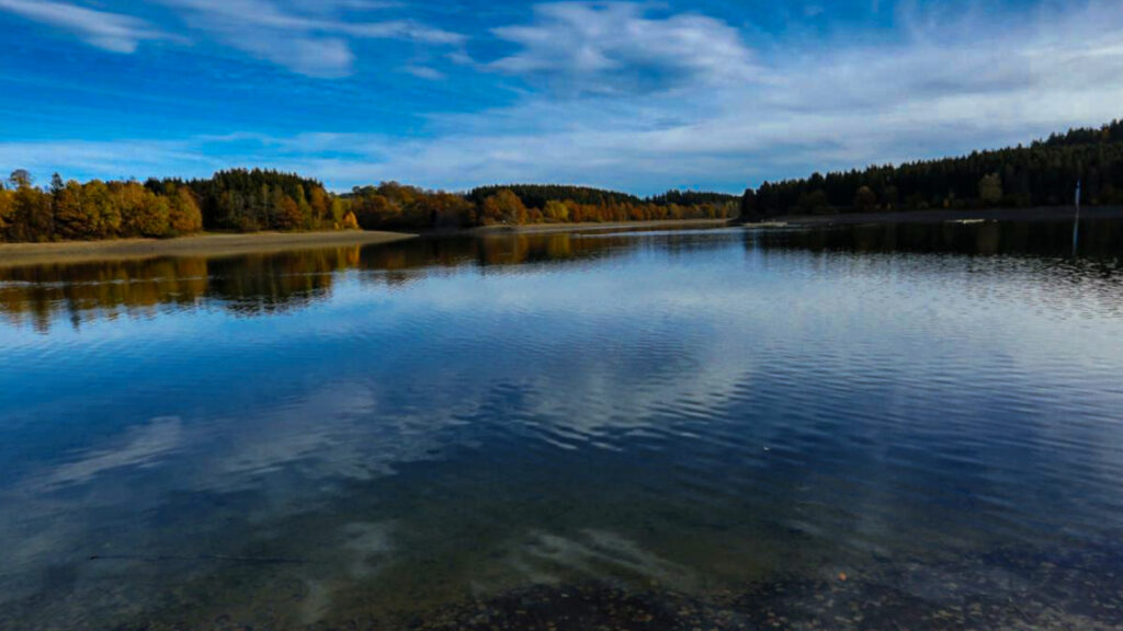
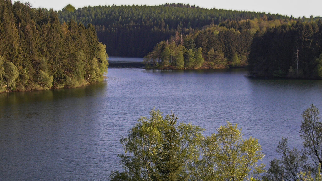
In 1795 Bütgenbach was annexed by the French and in 1815 it became Prussian. In 1920, Bütgenbach was given to Belgium in accordance with the Treaty of Versailles. In 1932 a dam was built in the river Warche and Lake Bütgenbach was created. In the winter of 1944, General Eisenhower was stationed here for a few days during the Battle of the Bulge.
Overview map:
Stats:
| Start: | Signal de Botrange (BE) |
| Coordinates (DD): | 50.501369 / 6.093313 |
| End: | Butgenbach (BE) |
| Coordinates (DD): | 50.430058 / 6.209715 |
| Distance: | 23,3 kilometers |
| Uphill: | 320 meters |
| Downhill: | 450 meters |
| Path, dirt road, gravel, nature trail: | 82% |
| Asphalt, road: | 18% |
| More additional info like GPX track: | Go to Komoot* page here… (external) |
| Print: | Go for download here… (pdf) |
- *Komoot is a navigation and route-planning app that enables you to create and follow routes that are based on walking/riding type and ability. Be aware you have to sign up for free to have access to the app.
See and share with QR code:

You will see stage 29. when you scan the QR code (In Komoot).
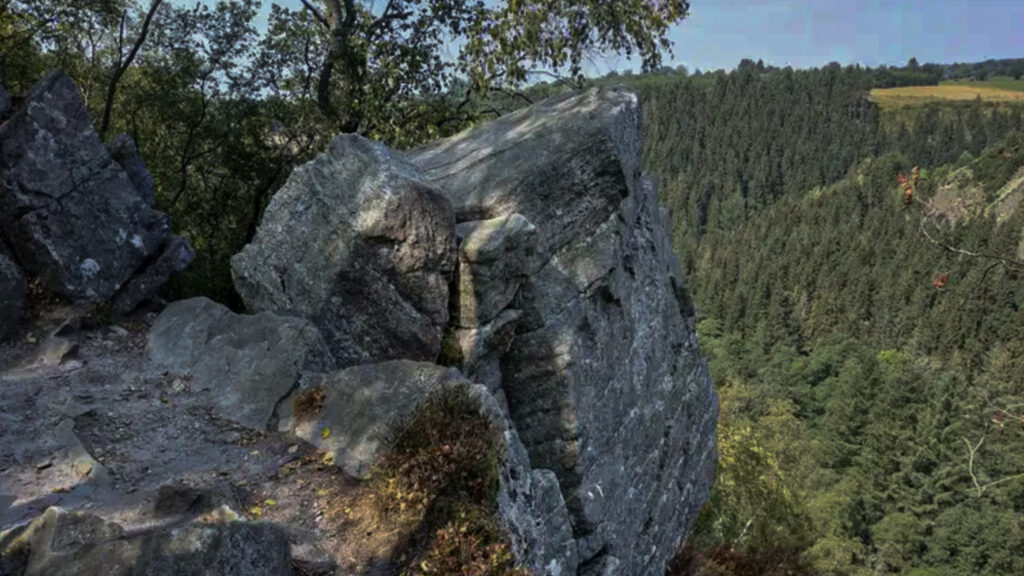
Highlights:
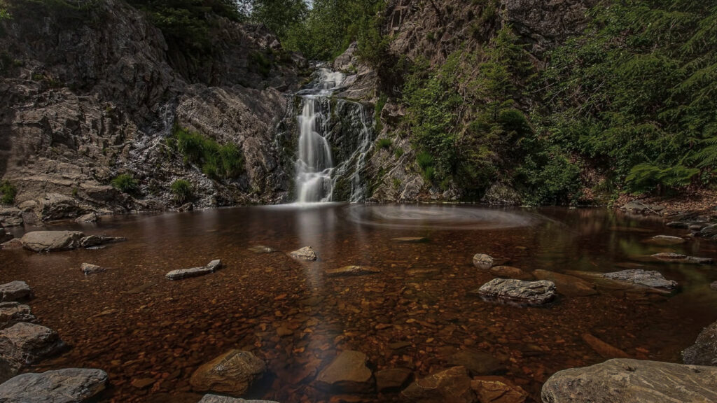
Nature Park Les Hautes Fagnes-Eifel (Naturpark Hohes Venn-Eifel),
is a cross-border park divided over Belgium and Germany and both countries manage autonomously their part of the nature park.
The part in Germany (2.000 square kilometers) covers two federal states; Nordrhein Westfalen and Rheinland-Pfalz. And here you find the famous Eifel National Park located (110 square kilometers).
While the part in in Belgium (700 square kilometers) covers only the province Liège and her you find Nature Reserve Hautes Fagnes (45 square kilometer) located. The area of Hautes Fagnes started 7.500 years ago at the end of the last ice age and is protected since 1957. A unique spot in Europe with an exceptional biotope to preserve.
The difference between a Nature Park and a Nature Reserve!
A nature reserve often allows very limited access, or in fact no access at all to the public. Its function is to preserve the area. A National Park may have several conditions on use and access but it is assumed that the public will have access to the park.
Eifel National Park!
Was founded in 2004 and spans 110 square kilometers, is still classed as a “National Park in development”. Conservation areas within this category have thirty years to allow at least three quarters of the area to return to nature – it is only then that they fulfill the international National Park criteria. And over half of the area is already operating in line with the National Park motto “Let nature be nature”. This allows thousands of endangered animal and plant species to propagate in the special and newly created habitats. Thus, rare animal species like black storks, Eurasian eagle owls and wild cats can find the safe havens vital to their survival in the Eifel National Park.
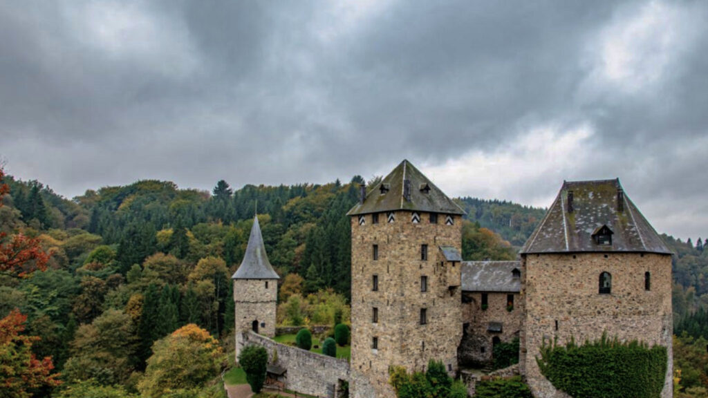
Specific local info:


Roman history
Magnus Carolus
Water sources


Nature
WW1
WW2


Local products
Stories
Sleeping suggestions
Public transport:
Industrial heritage:

