Stage 31. Hellental (DE) to Monschau (DE)
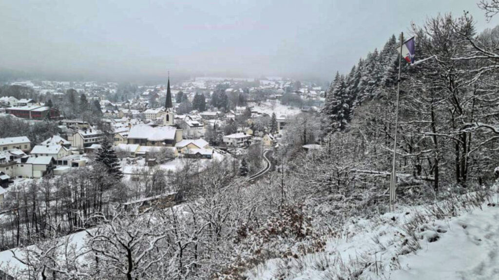
Hellenthal has 8000 inhabitants and the mostsouthern municipalty of Nordrhein-Westfalen and consists as much as of villages. Hellenthal is located on the edge of the Eifel National Park and the Oleftalsperre is one of the largest reservoirs in Germany. The reservoir contains about twenty million cubic meters of water and is fed by the river Olef.
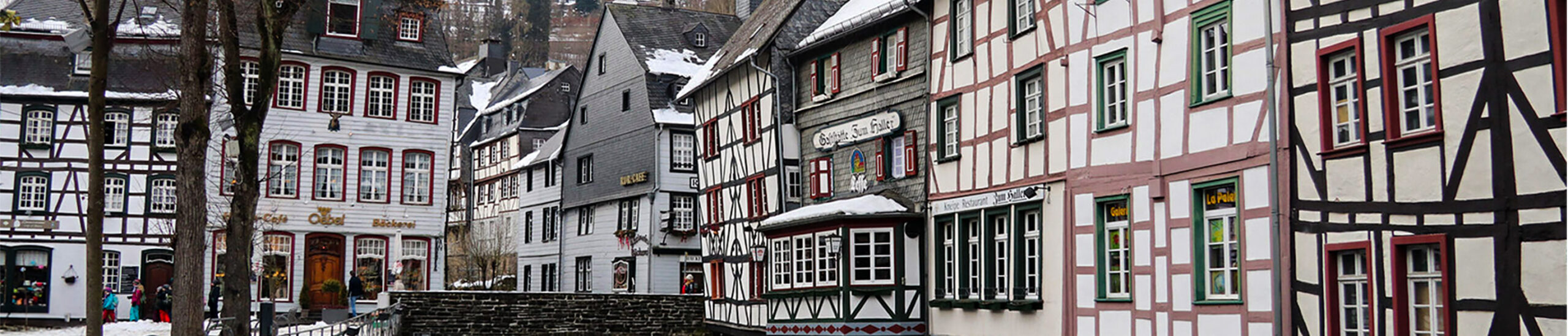
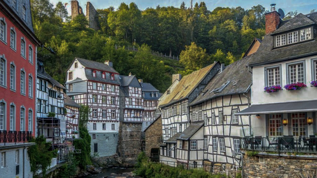
In the north of the Eifel, not far from the border with Belgium, Monschau is located in one of the most beautiful regions of Germany; the Eifel.
Monschau was first mentioned in 1198 as Mons Ioci. The castle probably originated from the 13th century and was founded by the Duke of Limburg as Castrum in Munioie. In 1352 the place received city rights. So Monschau is an old city whose history goes a long way back.
As a result of the Thirty Years War (1618 – 1648), the town Germanized by the influence of Protestant German-speaking refugees in search for religious freedom. Many of them were employed in the cloth industry. Protestants also came from Aachen, after they were persecuted there from 1616.
The 18th century was the hight of the cloth industry. A rich period in which many stately houses were built. A good example of this is The Red House in Monschau.
Today Monschau belongs to the German state of Nordrhein-Westfalen. The population is just over 13,000 people with more than 300 classified monuments.
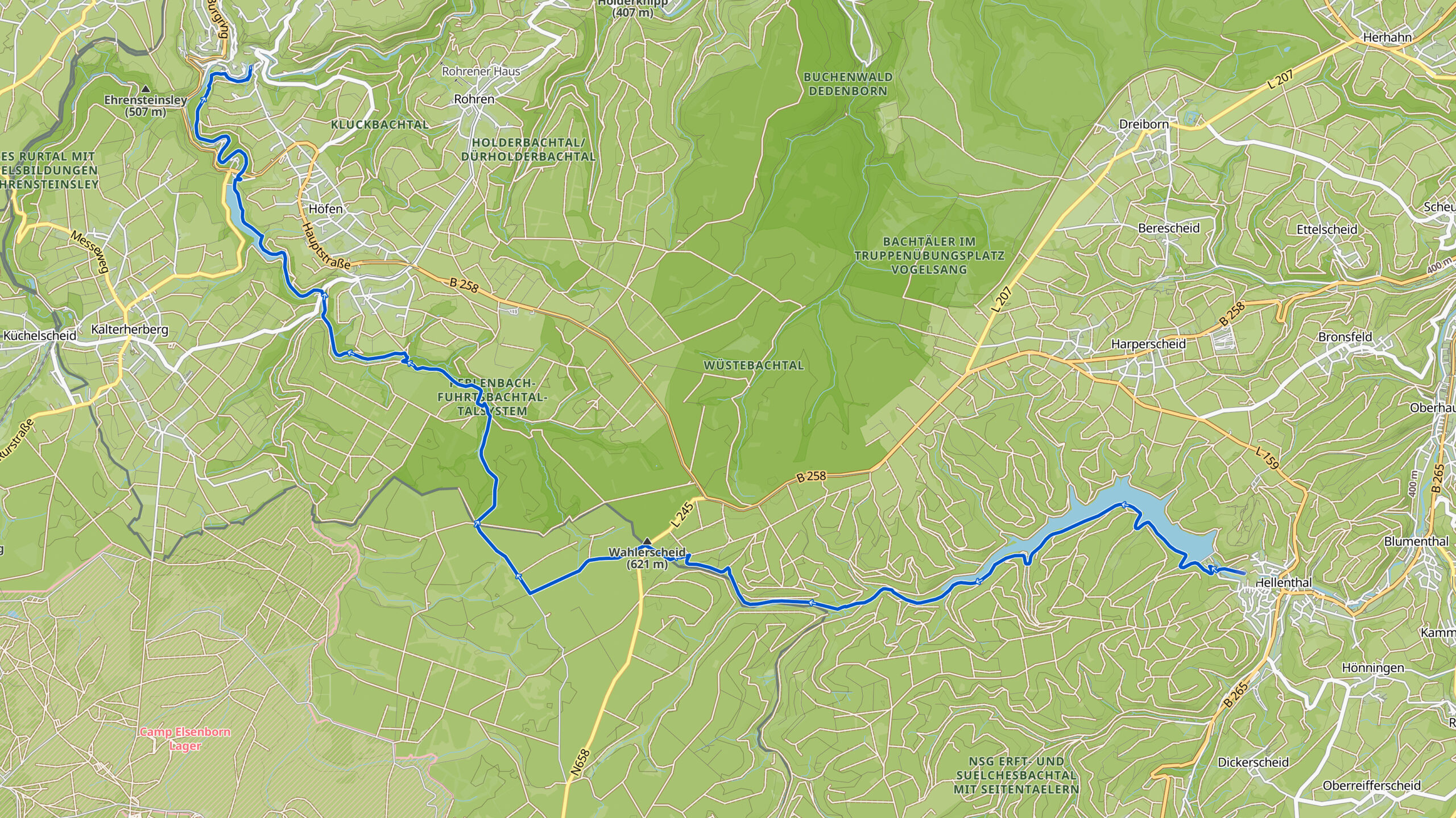
Overview map:
Stats:
| Start: | Hellental (DE) |
| Coordinates (DD): | 50.491701 / 6.434909 |
| End: | Monschau (DE) |
| Coordinates (DD): | 50.491837 / 6.441756 |
| Distance: | 24,3 kilometers |
| Uphill: | 340 meters |
| Downhill: | 340 meters |
| Path, dirt road, gravel, nature trail: | 88% |
| Asphalt, road: | 12% |
| More additional info like GPX track: | Go to Komoot* page here… (external) |
| Print: | Go for download here… (pdf) |
- *Komoot is a navigation and route-planning app that enables you to create and follow routes that are based on walking/riding type and ability. Be aware you have to sign up for free to have access to the app.
See and share with QR code:

You will see stage 31. when you scan the QR code (In the app Komoot)
Highlights:
Specific local info:


Roman history
Magnus Carolus
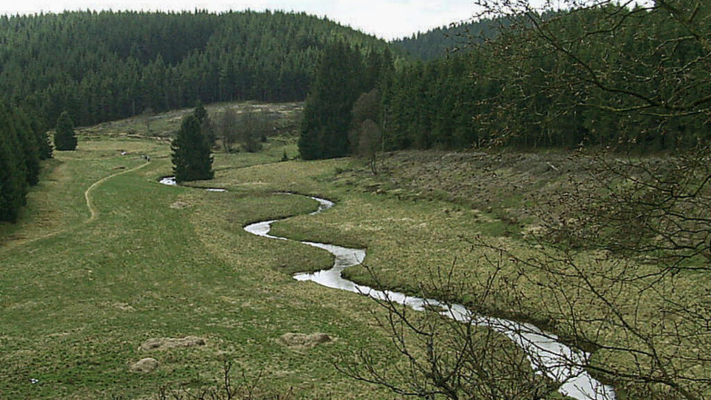
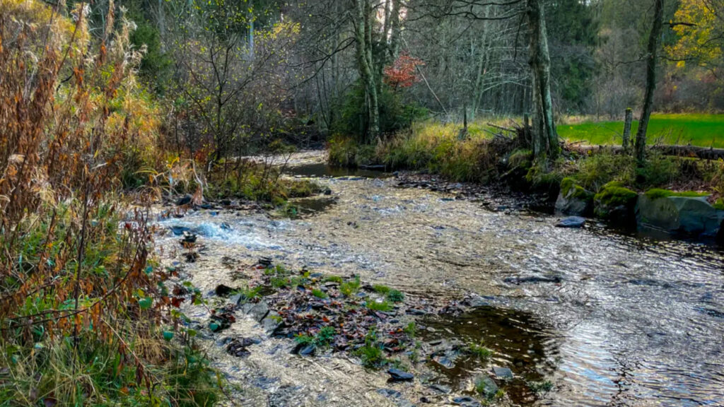
Water sources


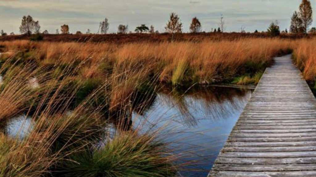
Nature
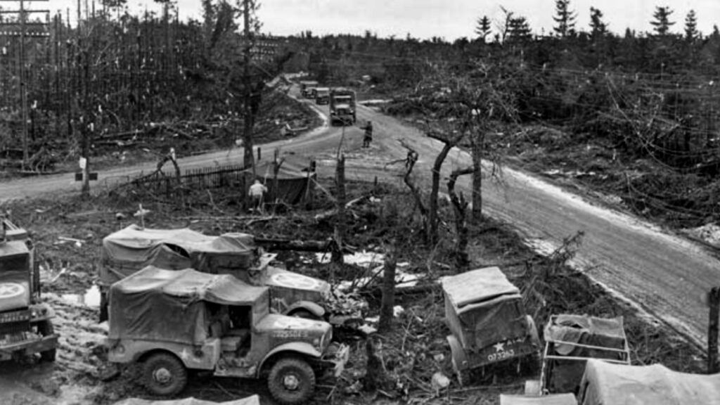
WW1
WW2


Local products
Stories
Sleeping suggestions
Public transport:
Industrial heritage:

