Stage 33. Einruhr (DE) to Heimbach (DE)

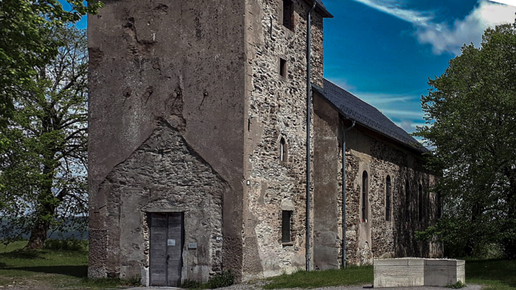
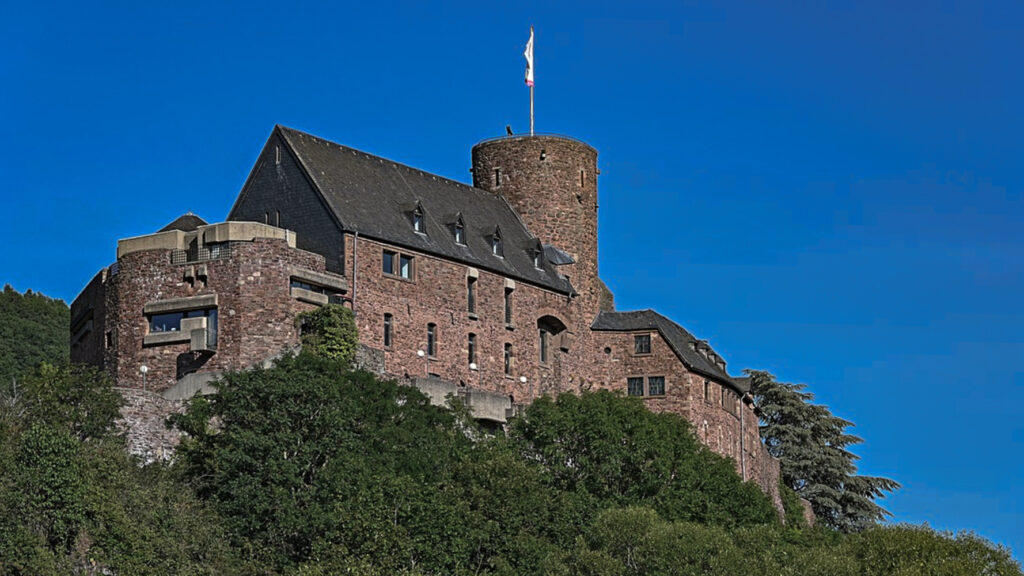
The towers of Hengebach Castle reigns over over Heimbach. The first mention of the town Heimbach was in 673. At the end of the 18th century, Heimbach became French property and after the Congress of Vienna (1815) it became Prussia.
The Prussians started regulating the stream Rur. At the beginning of the 19th century, the Eifel was also referred as “Prussians Siberian”, because it only consisted of extensive moors, which was due to the keeping of too many sheep.
On June 10, 1883, a huge thunderstorm occurred in the area upstream of Heimbach, flooding the town and destroying many houses. To put an end to this type of flooding, construction of the Urfttalsperre started in 1904. The Second World War also caused considerable damage to the castle and the town.
Today Heimbach is a “Staatlich anerkannter Luftkurort” (a town which has a climate and air quality which is considered beneficial to health and recovery).
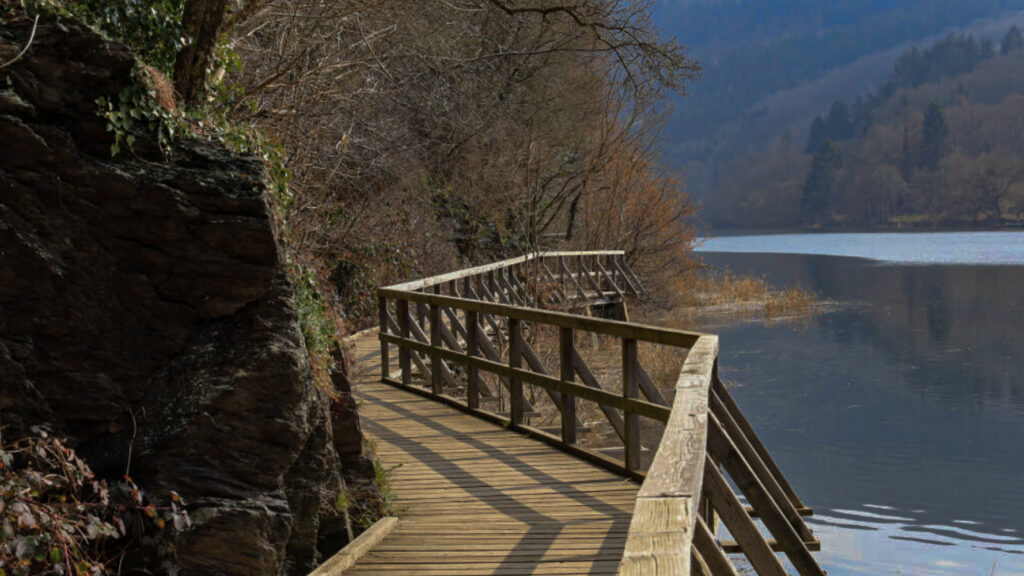
Woffelsbach is a village of about 500 inhabitants of the municipality Simmerath. The village is located in the northern Eifel on the banks of the lake Rur, that flows into the river Meuse (NL).
The area in which Woffelsbach is located has been inhabited since Roman times, this is supported by archaeological. Little is known about the beginning of the current Woffelsbach. The oldest farms date from the seventeenth century. In 1794 the Woffelsbach was occupied by French revolutionary troops. The French occupation lasted until 1815 when the territory was assigned to the Kingdom of Prussia.
Tourism in Woffelsbach started in the 1930s and received an enormous boost with the construction of the dam between 1955 and 1959. This created the possibilities for water sports that had not been available before.
Overview map:
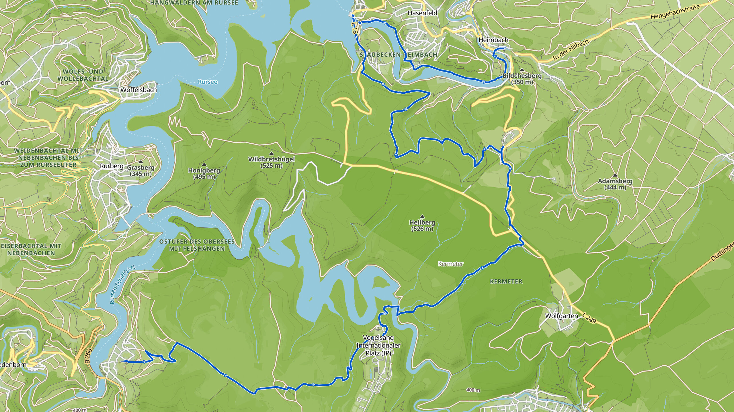
Stats:
| Start: | Einruhr (DE) |
| Coordinates (DD): | 50.584478 / 6.380478 |
| End: | Heimbach (DE) |
| Coordinates (DD): | 50.633431 / 6.480739 |
| Distance: | 23,9 kilometers |
| Uphill: | 580 meters |
| Downhill: | 660 meters |
| Path, dirt road, gravel, nature trail: | 84% |
| Asphalt, road: | 16% |
| More additional info like GPX track: | Go to Komoot* page here… (extrernal) |
| Print: | Go for download here…. (pdf) |
- *Komoot is a navigation and route-planning app that enables you to create and follow routes that are based on walking/riding type and ability. Be aware you have to sign up for free to have access to the app.
See and share with QR code:

You will see stage 33. when you scan the QR code (In app Komoot).
Highlights:
Specific local info:


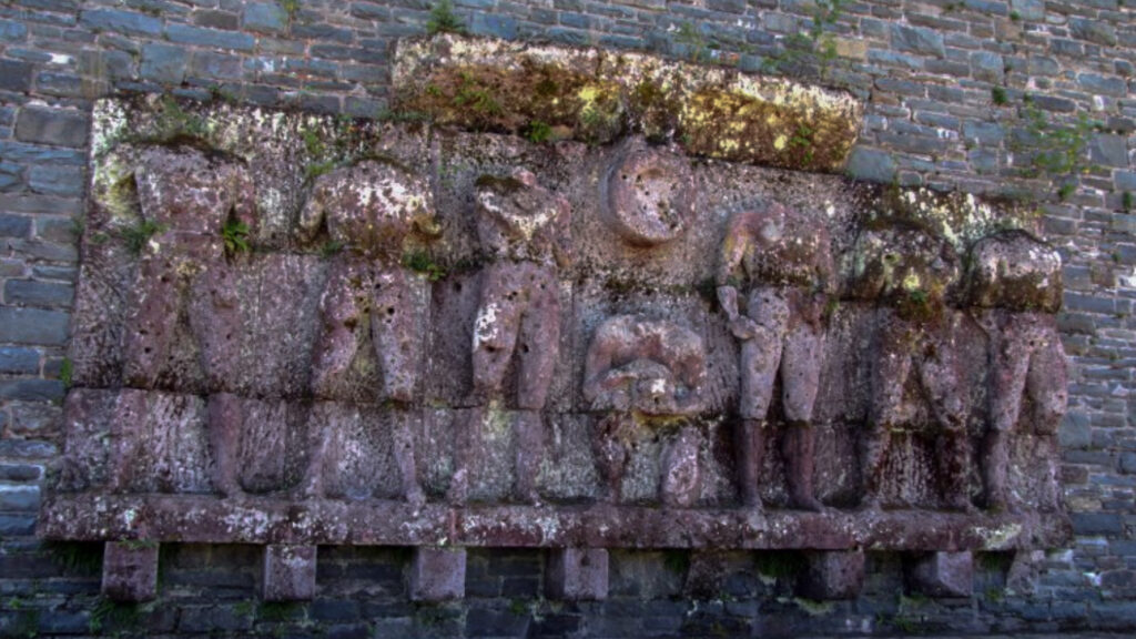
Roman history
Magnus Carolus
Water sources


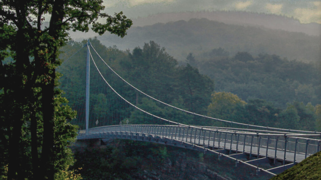
Nature
WW1
WW2


Local products
Stories
Sleeping suggestions
Public transport:
Industrial heritage:

