Stage 39. Aachen (DE) to Epen (NL)

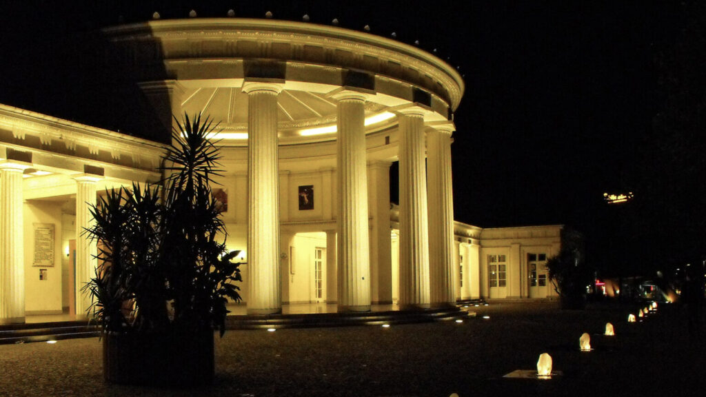
The ancient name of Aachen/Aix-la-Chapelle is not been passed. Since Charlemagne founded his castle on the remains of Roman baths, the Latin word aqua for water can be taken as the origin of the name.
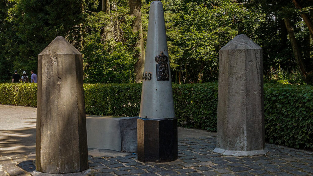
The name Epen is probably derived from a Germanic word of possibly Celtic origin, “apa”, a word meaning “water”. The area was colonized in Roman times. Legionnaires who had served their time were assigned a plot of land. From this the later large Roman farms would arise: the villas, several of which have been excavated.
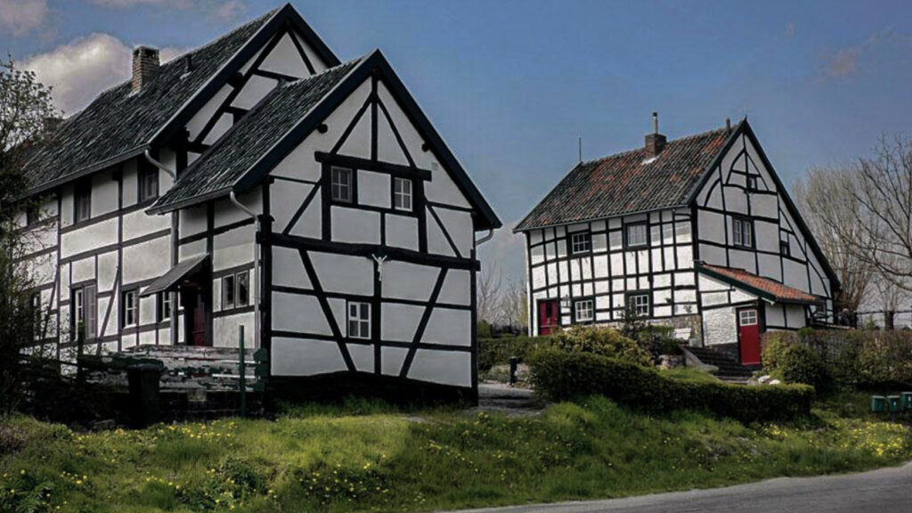
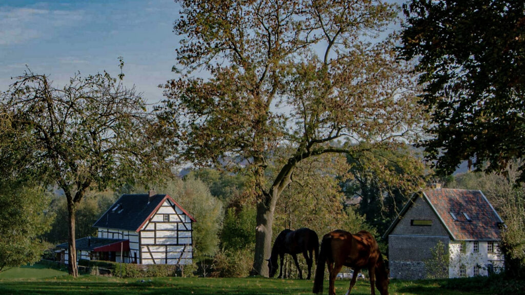
In the early Middle Ages, Epen was privately owned by the Carolingian kings. After the Middle Ages, the area suffered greatly from acts of war and gangs of deserted soldiers. There was a lot of poverty. Poverty is probably also one of the reasons why so many half-timbered buildings have survived. It was not until between the two world wars that prosperity began to increase. Epen was then discovered as a tourist destination by people with an interest in nature and geology.
Overview map:
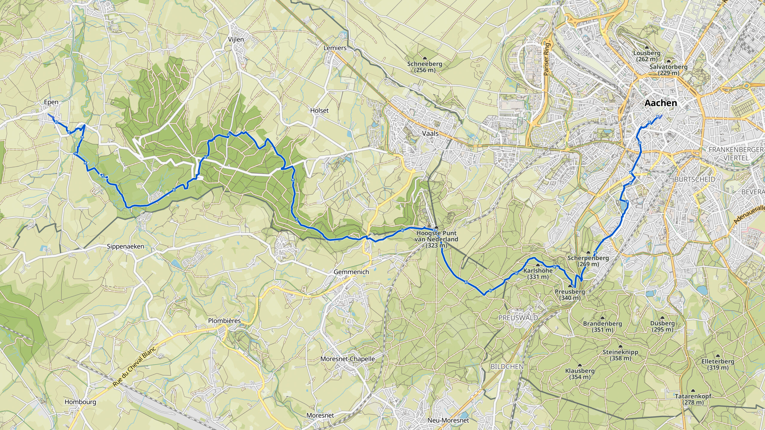
Stats:
| Start: | Aachen (DE) |
| Coordinates (DD): | 50.776254 / 6.083398 |
| End: | Epen (NL) |
| Coordinates (DD): | 50.773320 / 5.914025 |
| Distance: | 22,2 kilometers |
| Uphill: | 330 meters |
| Downhill: | 370 meters |
| Path, dirt road, gravel, nature trail: | 82% |
| Asphalt, road: | 18% |
| More additional info like GPX track: | Go to Komoot* page here… (external) |
| Print: | Go for download here… (pdf) |
- *Komoot is a navigation and route-planning app that enables you to create and follow routes that are based on walking/riding type and ability. Be aware you have to sign up for free to have access to the app.
See and share with QR code:

You will see stage 39. when you scan the QR code (In the app Komoot).
Highlights:
Around Vijlen no fewer than 26 water sources flow over a distance of less than 5 kilometers and there are a multitude of water sources that spontaneously surface here, read more…
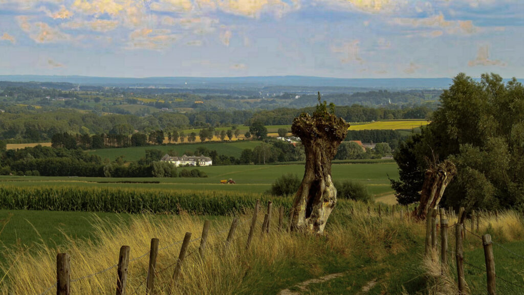
Vijlen with his high location and steep hills is known as a mountain village. Its also the first place where snow falls in the Netherlands.
On these hills you find vineyard St. Martinus with 28 hectares the largest and most sustainable vineyard. Close to Vijlen is the Vijlenerbos, a large sloped forest where you encounter height differences of about 100 meters, it is also the longest forest in the Netherlands!
Specific local info:


Roman history
Magnus Carolus
Water sources


Nature
WW1
WW2


Local products
Stories
Sleeping suggestions
Public transport:
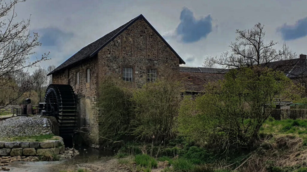
Industrial heritage:

