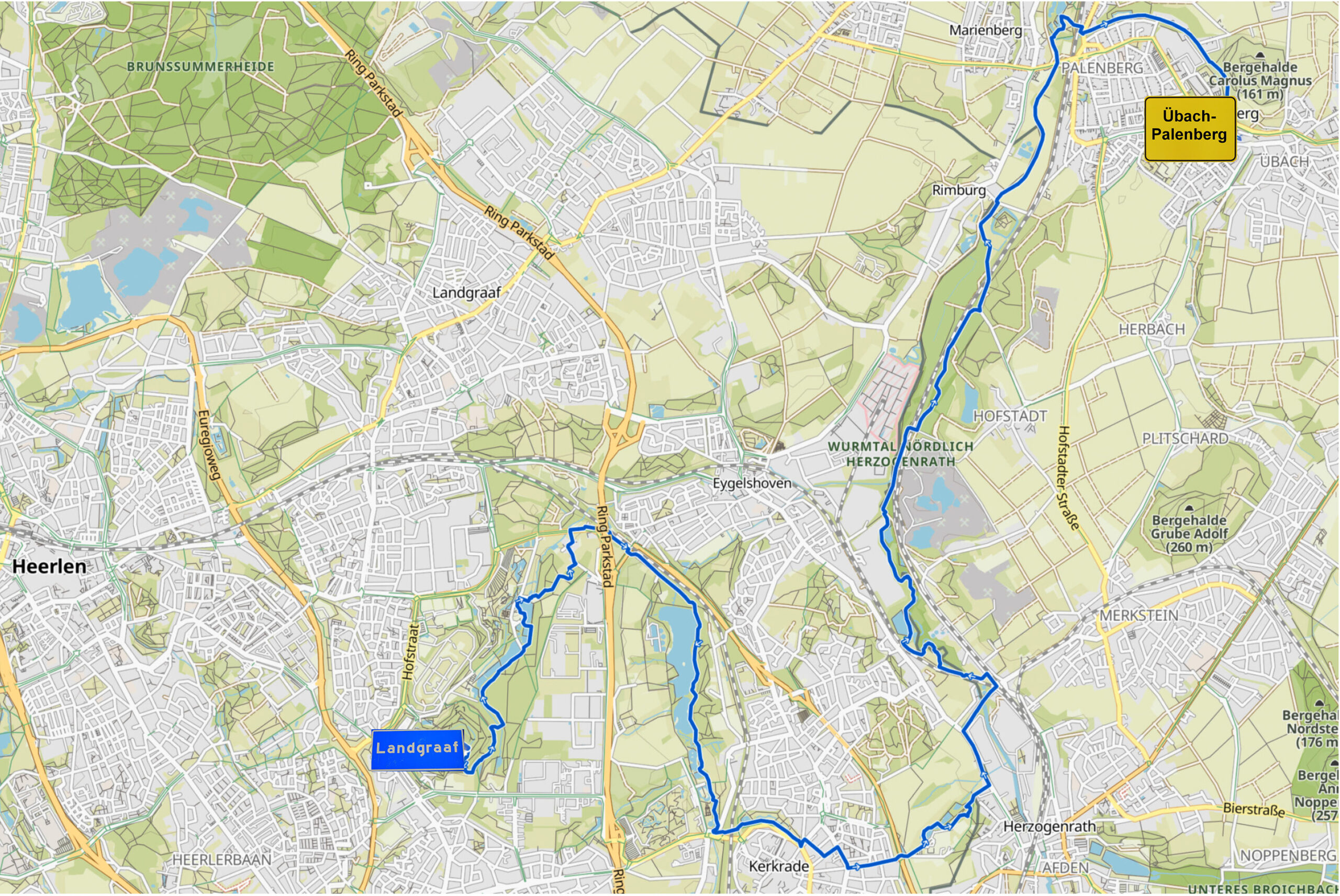
Stage 4. Landgraaf (NL) to Übach-Palenberg (NL)

Landgraaf is located in the south-east of the province Limburg (NL) and is a relatively young municipality in beautiful surroundings.
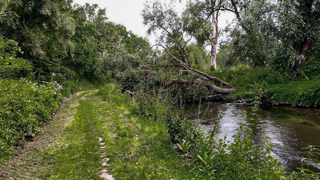
Landgraaf owes its name to a very special prehistoric canal that runs right through the region. Today this dry canal, the “landgraaf” connects the inhabited part of Landgraaf and the beautiful environment, which mainly consists of heather.
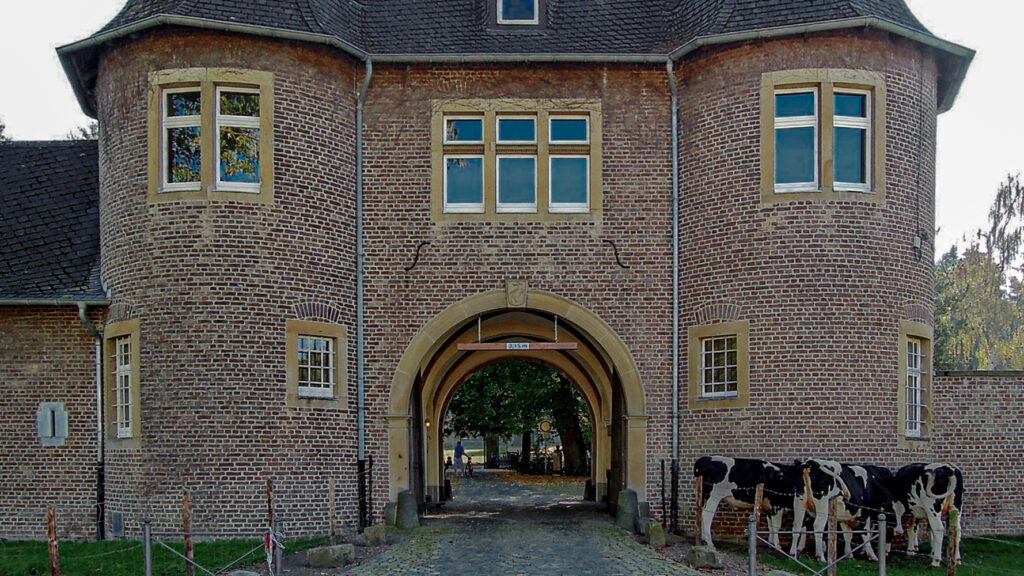
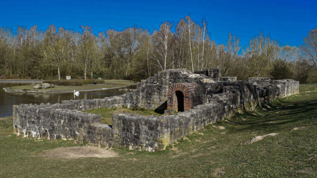
Übach-Palenberg is located approx. 20 km north of Aachen/Aix-la-Chapelle on the frontier with the Netherlands. Cultural and club life as well as recreation are very important in Übach-Palenberg. There is a lot to discover and experience, the former Carolus Magnus coal mine, the St. Petrus Chapel (11th century), Rimburg Castle (12th century), the remains of a Roman bathing house in the leisure facility of the Wurmtal (2nd century) and Zweibrüggen Castle (18th century), which is today one of the most beautiful wedding addresses.
Overview map:
Stats:
| Start: | Landgraaf (NL) |
| Coordinates (DD) | 50.877317 / 6.020927 |
| End: | Übach-Palenberg (DE) |
| Coordinates (DD) | 50.919725 / 6.118786 |
| Distance: | 20,9 kilometers |
| Uphill: | 140 meters |
| Downhill: | 250 meters |
| Path, dirt road, gravel, nature trail: | 76% |
| Asphalt, road: | 24% |
| 1st Unesco world heritage site: | Go to the Via Belgica page… (external) |
| More additional info like GPX track: | Go to Komoot* page… (external) |
| Print: | Click for download here…(pdf) |
- *Komoot is a navigation and route-planning app that enables you to create and follow routes that are based on walking/riding type and ability. Be aware you have to sign up for free to have access to the app.
See and share with QR code:

You will see stage 4. when you scan the QR code (In the app Komoot)
Highlights:

Specific local info:


Roman history
Magnus Carolus
Water sources


Nature
WW1
WW2


Local products
Stories
Sleeping suggestions
Public Transport:
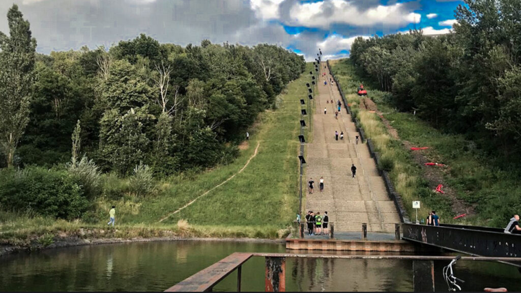
Industrial heritage:

