Stage 40. Epen (NL) to Simpelveld (NL)

The name Epen is probably derived from a Germanic word of possibly Celtic origin, “apa”, a word meaning “water”.
For 70 to 120 million years ago, the area where Simpelveld is located today was in the middle of the Cretaceous Sea. The chalk deposits are essentially the calcareous skeletons of small sea creatures.
A million years ago, the river Meuse still flowed through Simpelveld.
Around 4.000 BC. farmers in hut villages lived in the area of Simpelveld. These people are nowadays called band ceramics, because of their pottery decoration. Several Roman villas, villae rusticae, have been excavated around Simpelveld, which were built in the 1st century.
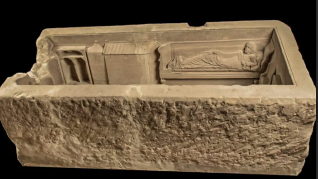
On December 11, 1930, some sandstone coffins or sarcophagi from the Roman era were excavated. one of the coffins was the grave of a rich woman.
Overview map:
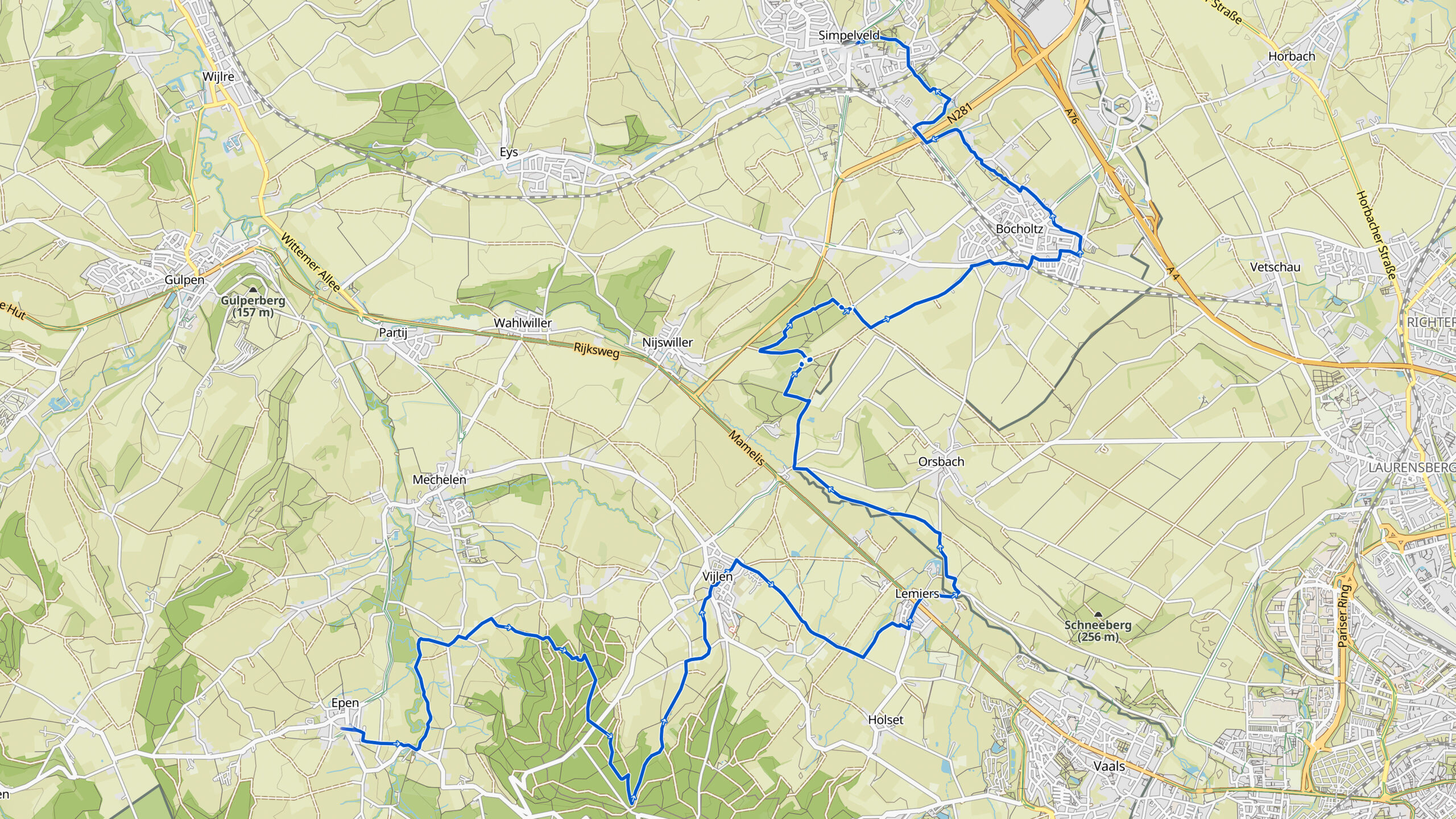
Stats:
| Start: | Epen (NL) |
| Coordinates (DD): | 50.773320 / 5.914025 |
| End: | Simpelveld (NL) |
| Coordinates (DD): | 50.835166 / 5.982602 |
| Distance: | 24,4 kilometers |
| Uphill: | 310 meters |
| Downhill: | 310 meters |
| Path, dirt road, gravel, nature trail: | 74% |
| Asphalt, road: | 26% |
| More additional info like GPX track: | Go to Komoot* page here… (external) |
| Print: | Click Go for download here… (pdf) |
- *Komoot is a navigation and route-planning app that enables you to create and follow routes that are based on walking/riding type and ability. Be aware you have to sign up for free to have access to the app.
See and share with QR code:

You will see stage 40. when you scan the QR code (In the app Komoot).
Highlights:
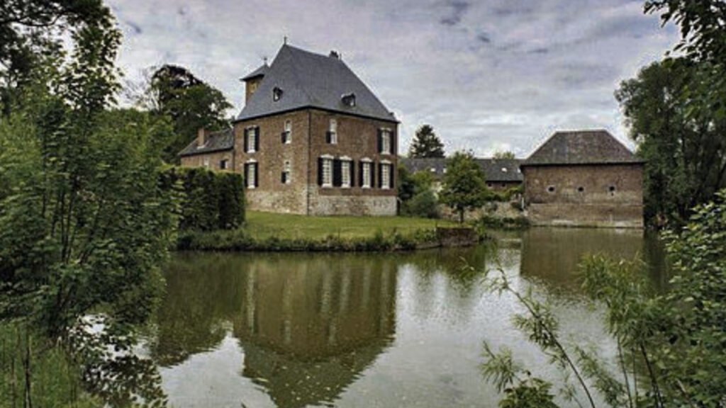
Specific local info:


Roman history
Magnus Carolus
Water sources


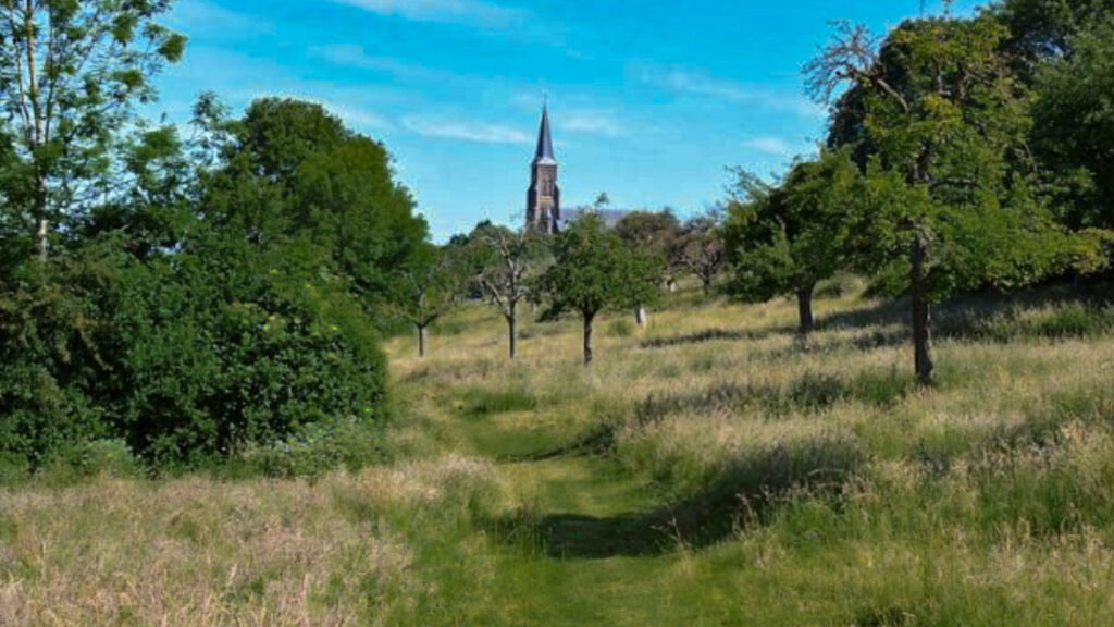
Nature
WW1
WW2


Local products
Stories
Sleeping suggestions
Public transport:
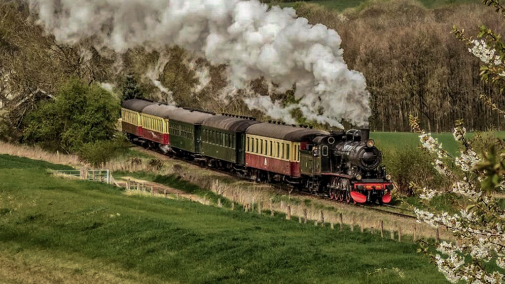
Industrial heritage:

