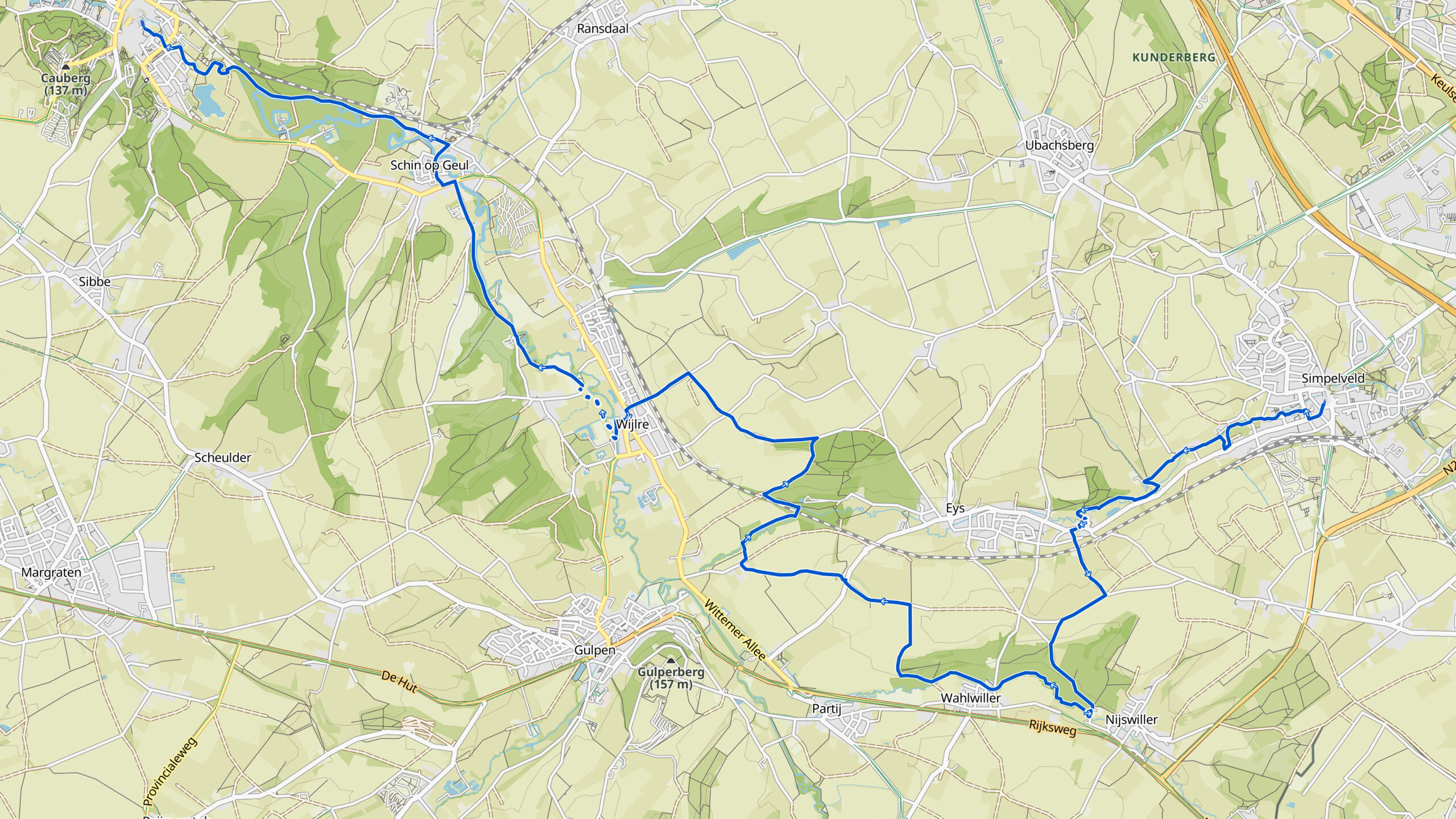
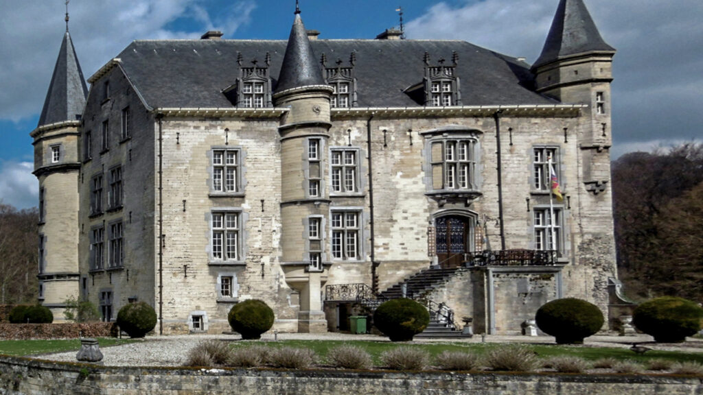
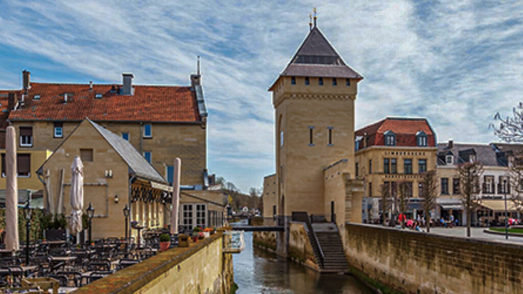
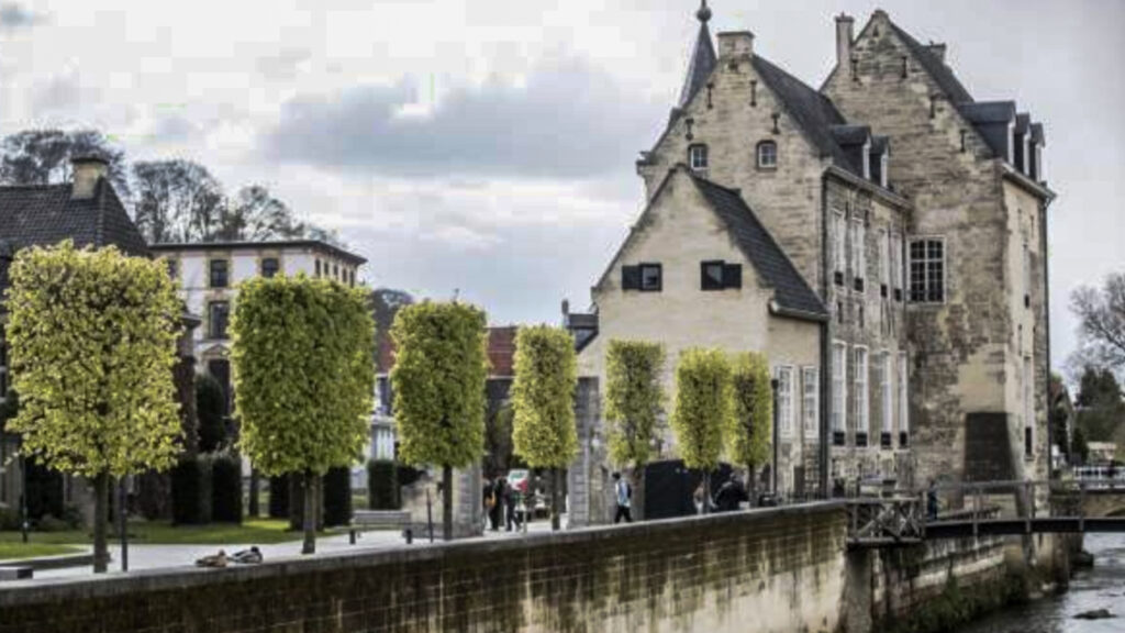
Stage 41. Simpelveld (NL) to Valkenburg a/d Geul

Several Roman villas, villae rusticae, have been excavated around Simpelveld, which were built in the 1st century. On December 11, 1930, some sandstone coffins or sarcophagi from the Roman era were excavated. One of the coffins was the grave of a rich woman.
Around the middle of the 19th century a new source of income developed in the mainly agriculturally oriented Valkenburg aan de Geul; tourism. The opening of the Aachen – Maastricht railway line in 1853 with a Valkenburg aan de Geul station (the oldest railway station building in the Netherlands that still is in use) was an important step towards opening of the relatively isolated Valkenburg aan de Geul.
In 1885 the first tourist information office in the Netherlands was established to provide information and entertainment to the mainly wealthy tourists.
Overview map:
Stats:
| Start: | Simpelveld (NL) |
| Coordinates (DD): | 50.835166 / 5.982602 |
| End: | Valkenburg a/d Geul (NL) |
| Coordinates (DD): | 50.864595 / 5.832476 |
| Distance: | 21,7 kilometers |
| Uphill: | 210 meters |
| Downhill: | 280 meters |
| Path, dirt road, gravel, nature trail: | 69% |
| Asphalt, road: | 31% |
| Gpx track: | Go to Komoot* page here… (external) |
| Print: | Go for download here… (pdf) |
- *Komoot is a navigation and route-planning app that enables you to create and follow routes that are based on walking/riding type and ability. Be aware you have to sign up for free to have access to the app.
See and share with QR code

You will see stage 41. when you scan the QR code (In the app Komoot).
Highlights:
Specific local info:


Roman history
Magnus Carolus
Water sources


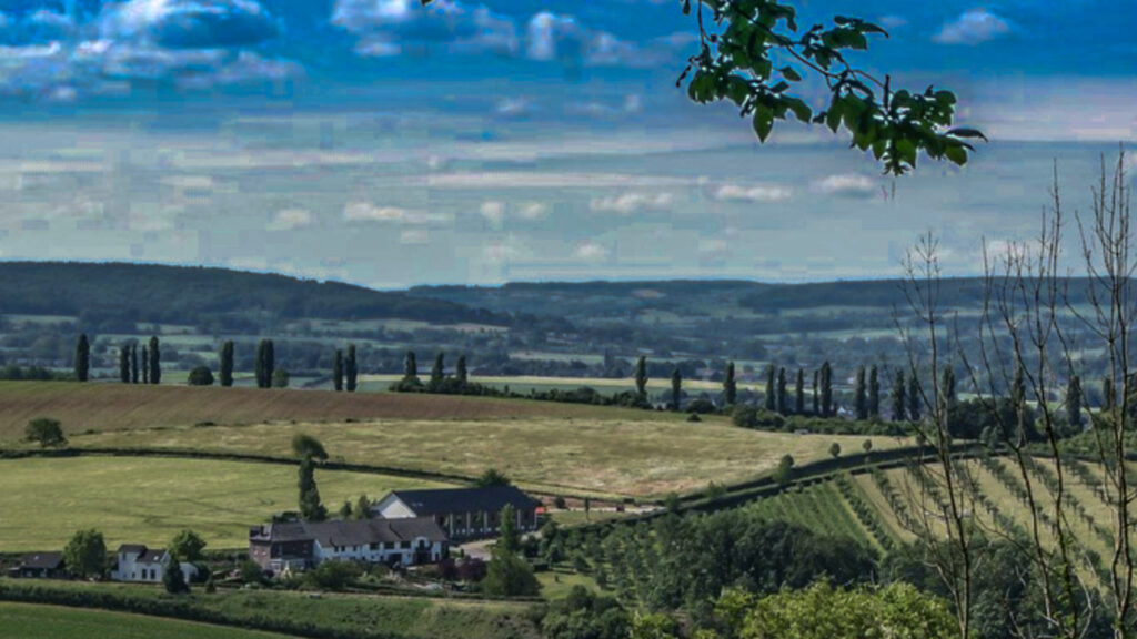
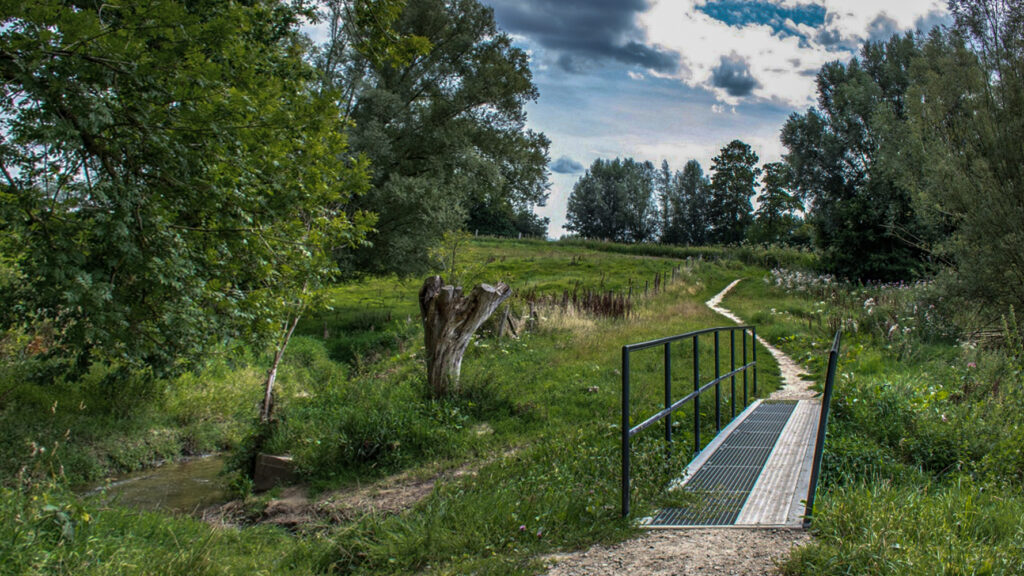
Nature
WW1
WW2


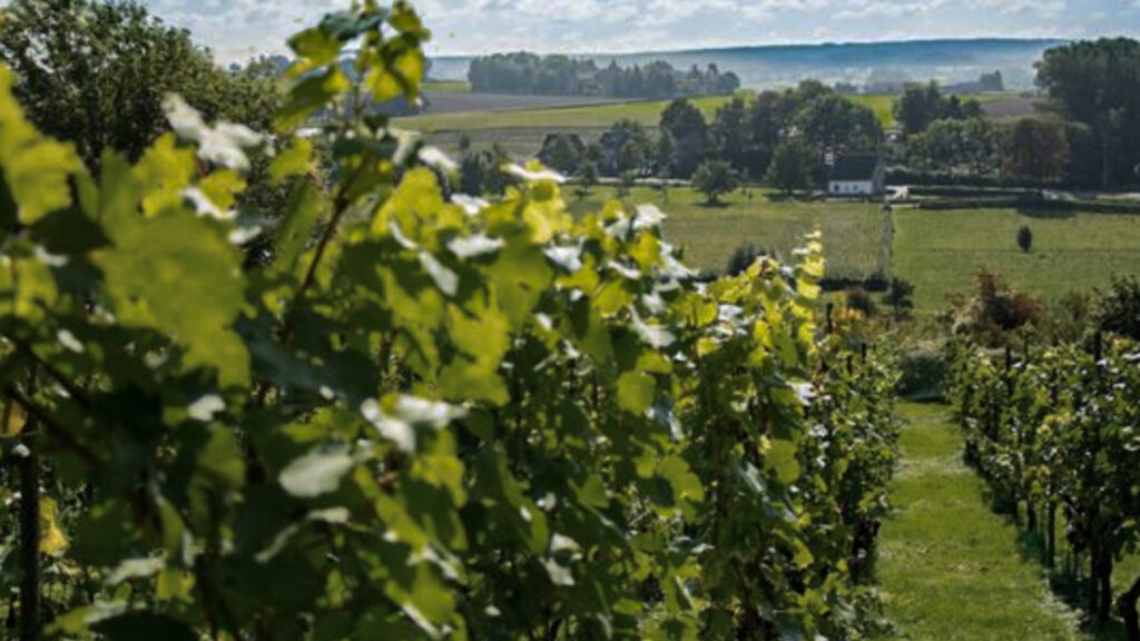
Local products
Stories
Sleeping suggestions
Public transport:
Industrial heritage:

