Stage 42. Valkenburg a/d Geul to Margraten

Around the middle of the 19th century a new source of income developed in the mainly agriculturally oriented Valkenburg aan de Geul; tourism. The opening of the Aachen – Maastricht railway line in 1853 with a Valkenburg aan de Geul station (the oldest railway station building in the Netherlands that still is in use) was an important step towards opening of the relatively isolated Valkenburg aan de Geul.
Margraten is international known by the presence of the Netherlands American Cemetery and Memorial, a large military cemetery. After WW2 the Dutch government gave US the land on which this cemetery is located for eternally in use as respect and gratitude. There are 8302 soldiers buried. However, there are only 8301 graves because in one grave are two unknown fallen American soldiers.
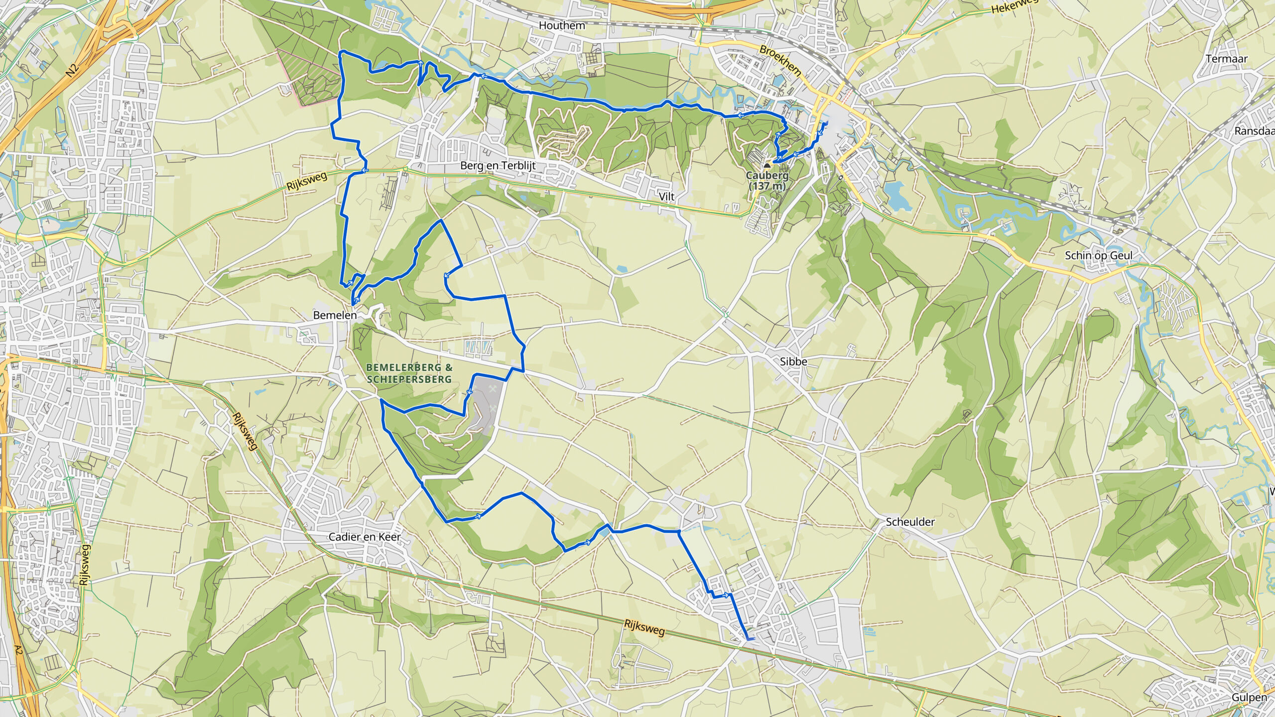
Overview map:
Stats:
| Start: | Valkenburg aan de Geul (NL) |
| Coordinates (DD): | 50.864595 / 5.832476 |
| End: | Margraten (NL) |
| Coordinates (DD): | 50.820220 / 5.821608 |
| Distance: | 21,2 kilometers |
| Uphill: | 330 meters |
| Downhill: | 230 meters |
| Path, dirt road, gravel, nature trail: | 76% |
| Asphalt, road | 24% |
| More additional info like GPX track: | Go to Komoot* page here… (external) |
| Print: | Go for download here… (pdf) |
- *Komoot is a navigation and route-planning app that enables you to create and follow routes that are based on walking/riding type and ability. Be aware you have to sign up for free to have access to the app.
See and share with QR code

You will see stage 42. when you scan the QR code (In the app Komoot).
Highlights:

Specific local info:


Roman history
Magnus Carolus
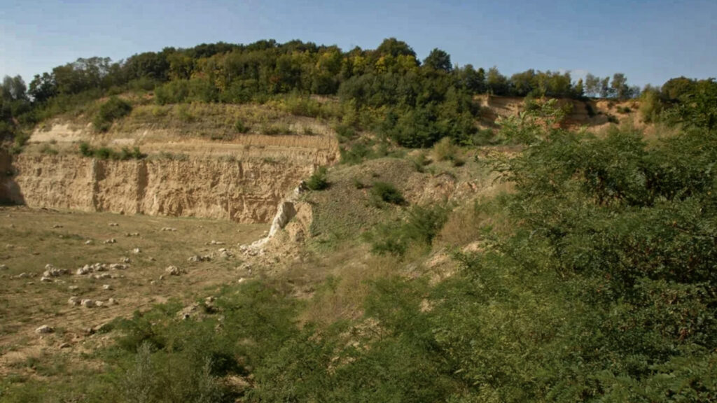
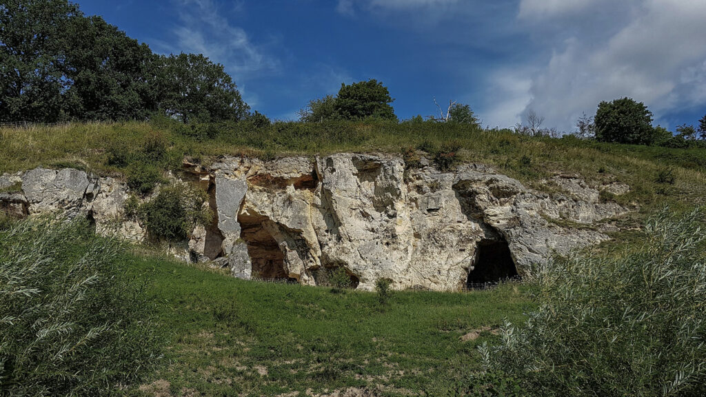
Water sources


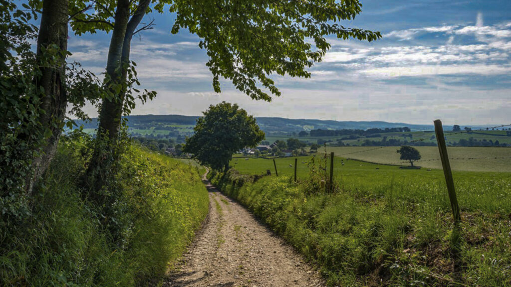
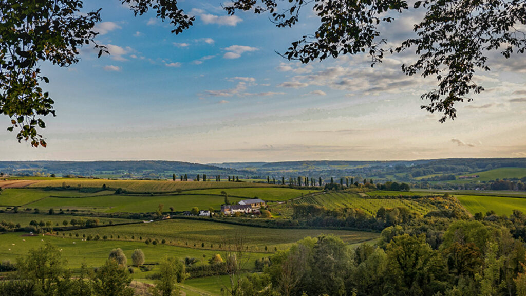
Nature
WW1
WW2


Local products
Stories
Sleeping suggestions
Public transport:
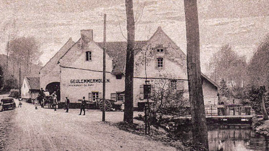
Industrial heritage:

