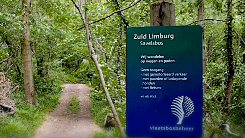
Stage 43. Margraten to Eijsden (NL)

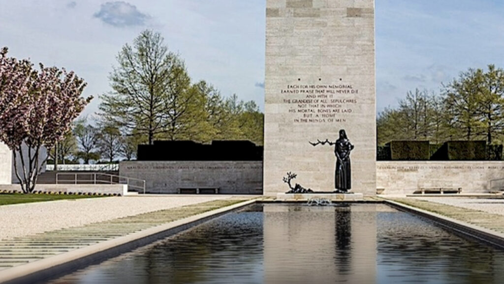
Margraten is international known by the presence of the Netherlands American Cemetery and Memorial, a large military cemetery.
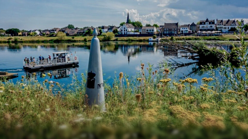
Eijsden lies on the frontier with Belgium and on the banks of the river Meuse in the extreme southwest of the Dutch region Zuid-Limburg. It is suspected from some archaeological finds that Eijsden was inhabited during Roman times.
For a long time the economy of Eijsden was mainly based on fruit growing. Until the mid-20th century, this region was home to one of the largest contiguous fruit tree areas in the Netherlands.
Since 2004, a ferry called De Cramignon leaves daily between Eijsden and Ternaaien (Lanaye) in Belgium. This ferry service transports only cyclists and pedestrians
And since December 2011, the local train Liège-Guillemins – Maastricht stops again in Eijsden.
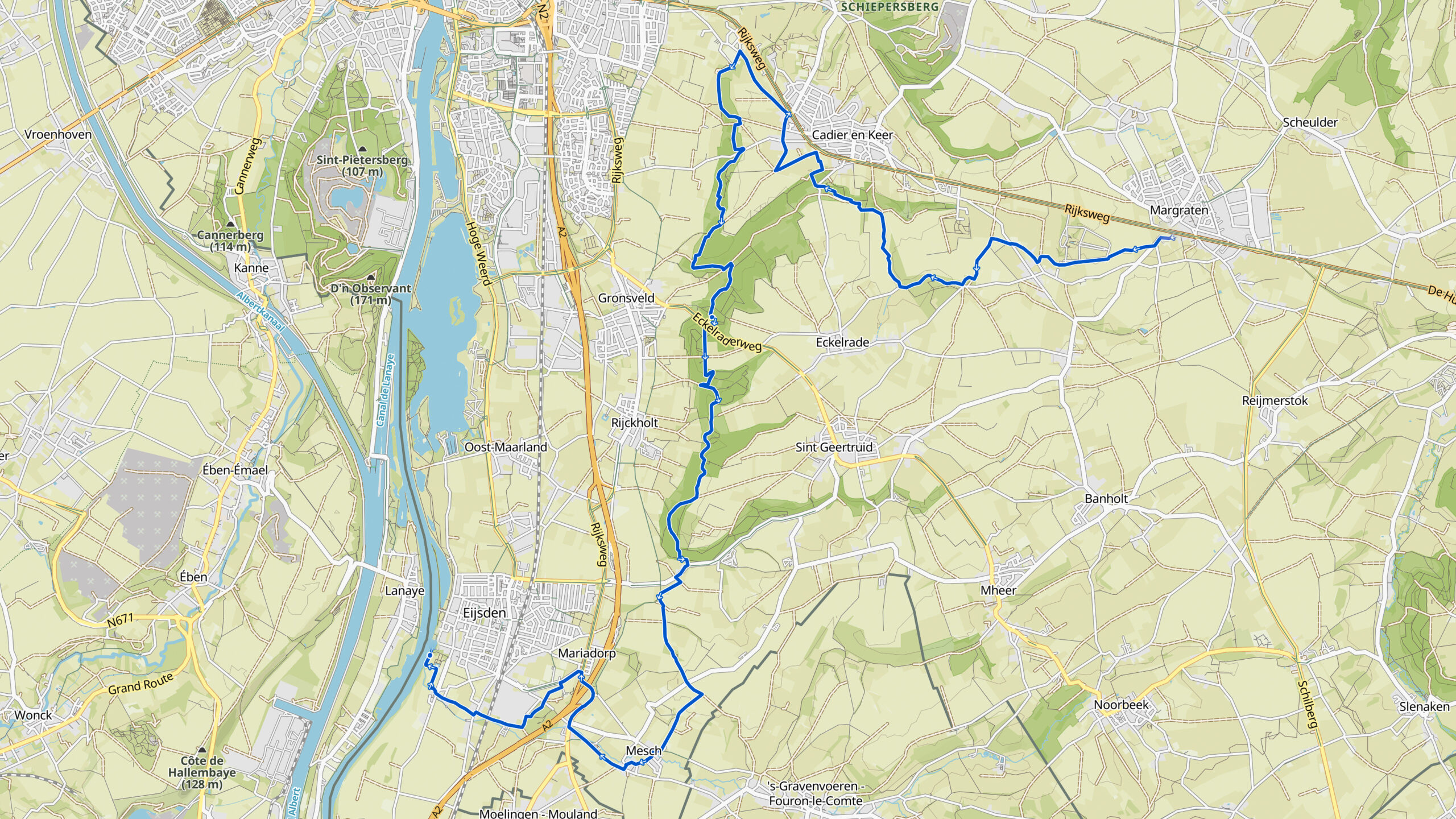
Overview map:
Stats:
| Start: | Margraten (NL) |
| Coordinates (DD): | 50.820220 / 5.821608 |
| End: | Eijsden (NL) |
| Coordinates (DD): | 50.776289 / 5.699626 |
| Distance: | 24,7 kilometers |
| Uphill: | 230 meters |
| Downhill: | 350 meters |
| Path, dirt road, gravel, nature trail: | 80% |
| Asphalt, road | 20% |
| More additional info like GPX track: | Go to Komoot* page here… (external) |
| Print: | Click Go for download here… (pdf) |
- *Komoot is a navigation and route-planning app that enables you to create and follow routes that are based on walking/riding type and ability. Be aware you have to sign up for free to have access to the app.
See and share with QR code

You will see stage 43. when you scan the QR code (Komoot).
Highlights:
Specific local info:


Roman history
Magnus Carolus
Water sources


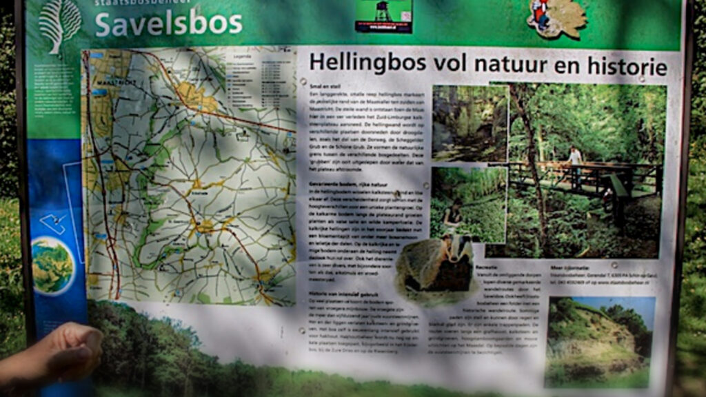
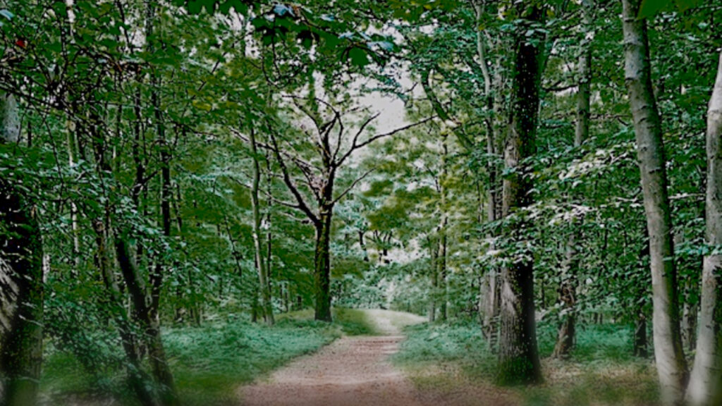
Nature
WW1
WW2


Local products
Stories
Sleeping suggestions
Public transport:
Industrial heritage:

