Stage 6. Jabeek (NL) to Born (NL)

Übach-Palenberg is located approx. 20 km north of Aachen/Aix-la-Chapelle on the frontier with the Netherlands. Cultural and club life as well as recreation are very important in Übach-Palenberg.
There is a lot to discover and experience, the former Carolus Magnus coal mine, the St. Petrus Chapel (11th century), Rimburg Castle (12th century), the remains of a Roman bathing house in the leisure facility of the Wurmtal (2nd century) and Zweibrüggen Castle (18th century), which is today one of the most beautiful wedding addresses.
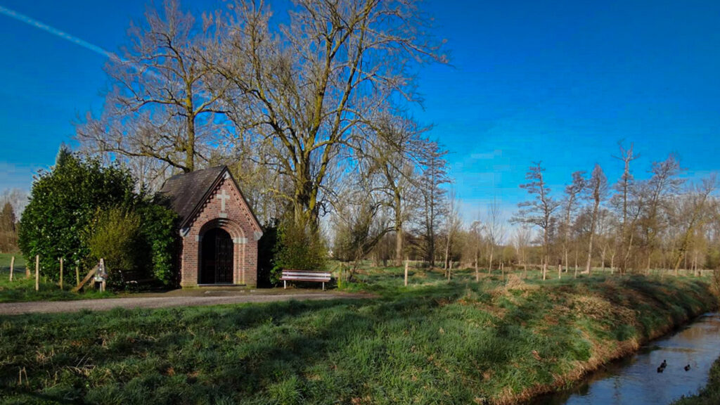
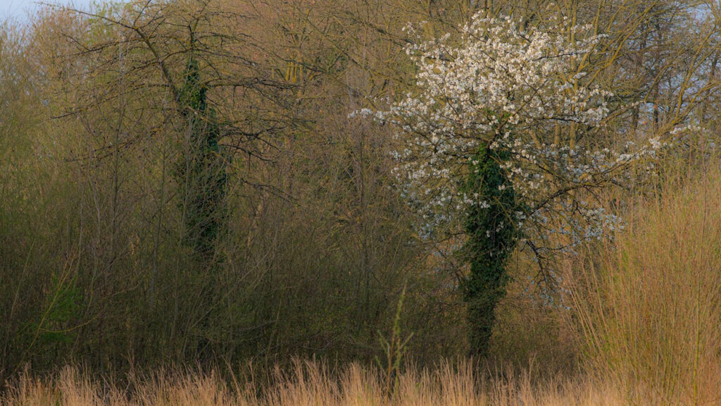
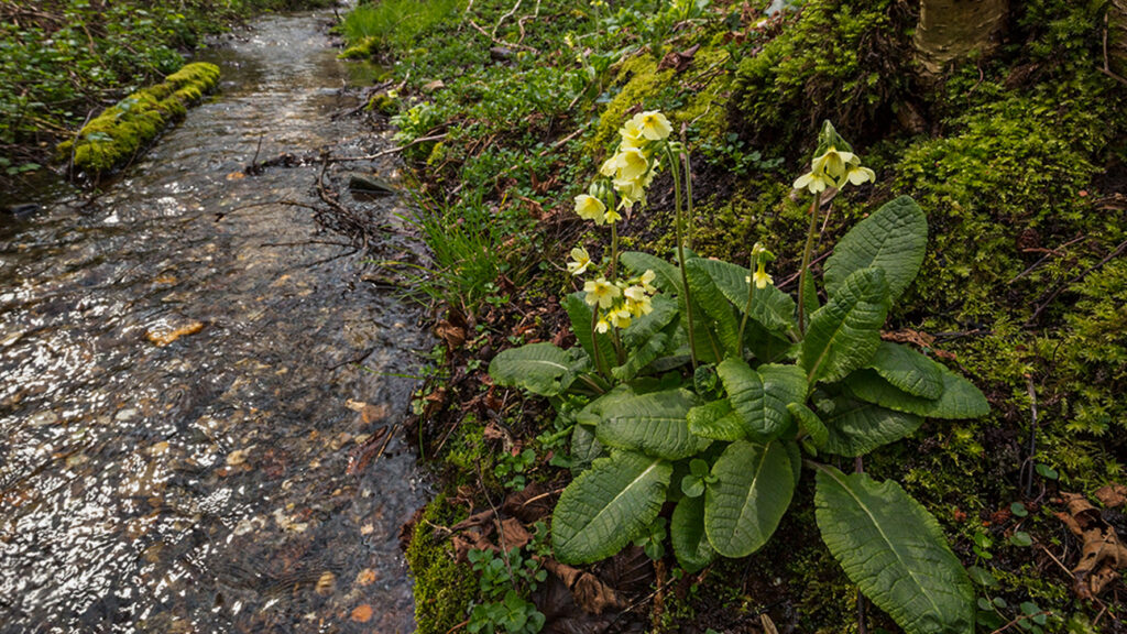
Jabeek has about 705 inhabitants. Until the last reorganization in 1982, Jabeek was the smallest municipality in the Netherlands for a long time. Jabeek originated as a settlement in the early Middle Ages, the first written mention is from 1114. An important nature reserve is formed by the Jabeekse Bossen (forest) close to the stream the Roode Beek, which are managed by Natuurmonumenten (a dutch nature reserve organisation), here you will also find lots of water mills.
Jabeek is a small residential area in the municipality of Beekdaelen in Dutch Limburg. The name is probably derived from the stream Quabeek that runs through the village. Jabeek has about 705 inhabitants.
Until the last reorganization in 1982, Jabeek was the smallest municipality in the Netherlands for a long time. Jabeek originated as a settlement in the early Middle Ages, the first written mention is from 1114. An important nature reserve is formed by the Jabeekse Bossen (forest) close to the stream the “Roode Beek“, which are managed by “Natuurmonumenten” (a dutch nature reserve organisation), here you will also find lots of water mills.
Overview map:
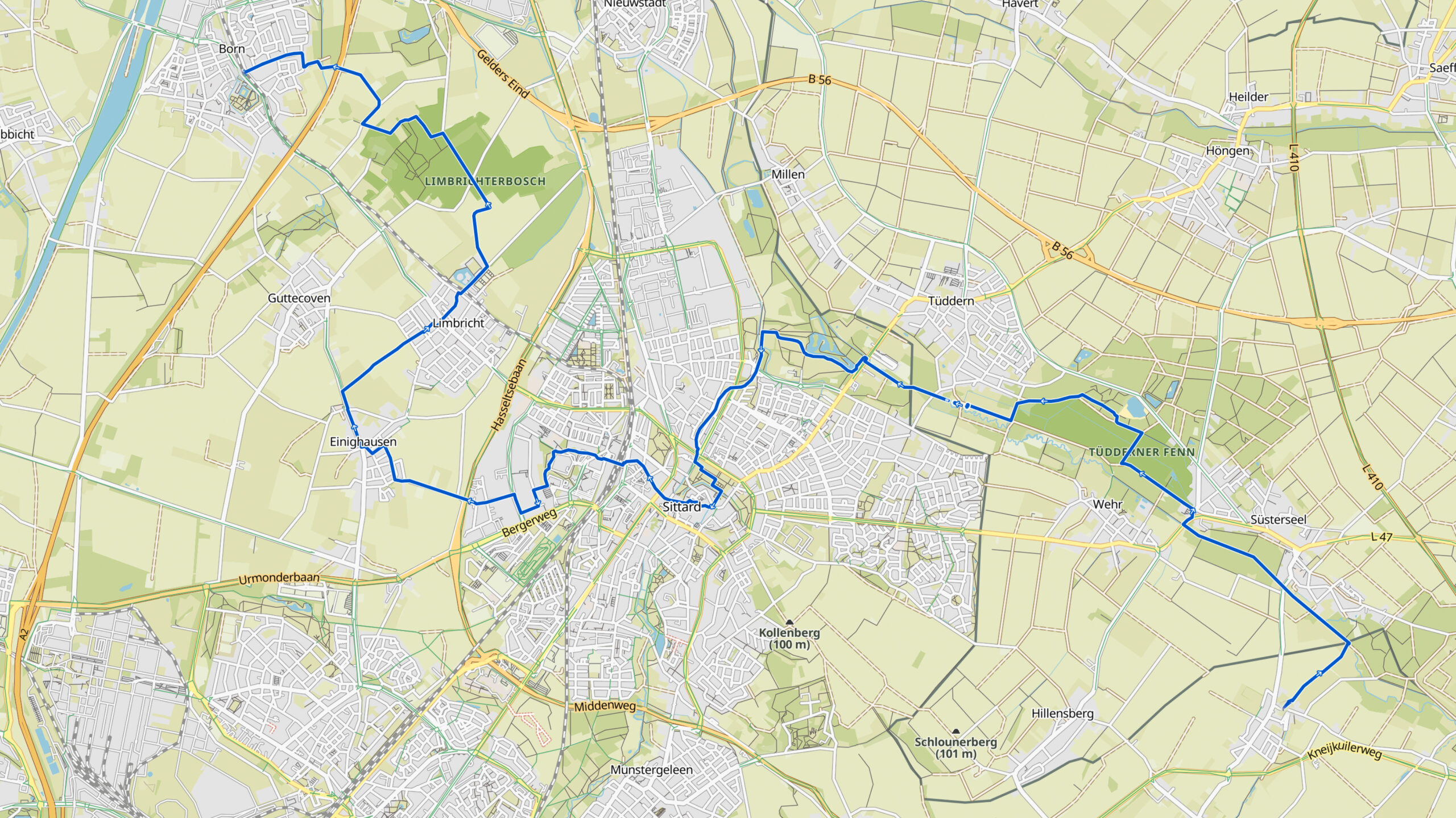
Stats:
| Start: | Jabeek (NL) |
| Coordinates (DD) | 50.981919 / 5.941016 |
| End: | Born (NL) |
| Coordinates (DD) | 51.031997 / 5.812019 |
| Distance: | 20,9 kilometers |
| Uphill: | 40 meters |
| Downhill: | 60 meters |
| Path, dirt road, gravel, nature trail: | 90% |
| Asphalt, road: | 10% |
| More additional info like GPX track: | Go to Komoot* page here… (external) |
| Print: | Go for download here… (pdf) |
- *Komoot is a navigation and route-planning app that enables you to create and follow routes that are based on walking/riding type and ability. Be aware you have to sign up for free to have access to the app.
See and share with QR code:

You will see stage 6. when you scan the QR code (In the app Komoot).
Highlights:
Specific local info:


Roman history
Magnus Carolus
Water sources


Nature
WW1
WW2


Local products
Stories
Sleeping suggestions
Public transport:
Industrial heritage:

