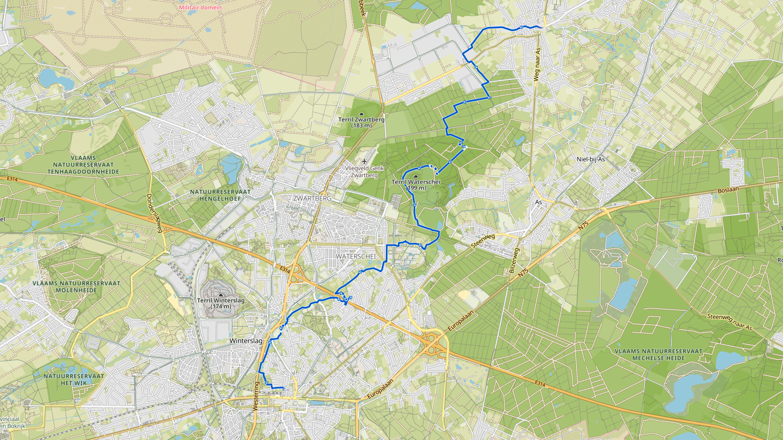
Stage 8. Opglabeek (BE) to Genk (BE)
In the Middle Ages Opglabbeek lived from agriculture and turf extraction. At the end of the eighteenth century, Opglabbeek is visible on geographical maps as a small village on the edge of the moor.
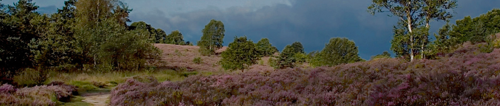
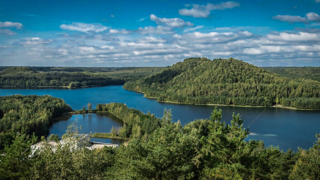
To the west of the village is a vast expanse moorland; the Donderslagse Heide, which extends as far as Houthalen. To the north of the village is the Gruitroodse heide (moorland) and to the southwest the Waterscheidse heide (moorland). From the nineteenth century, large parts of this extensive moorland was forested or urbanized.
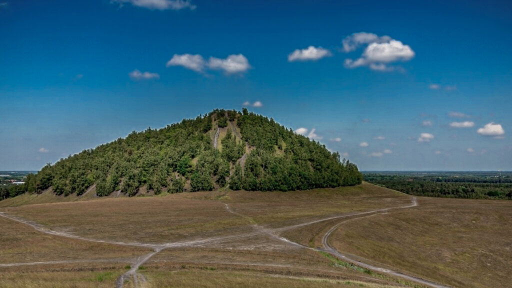
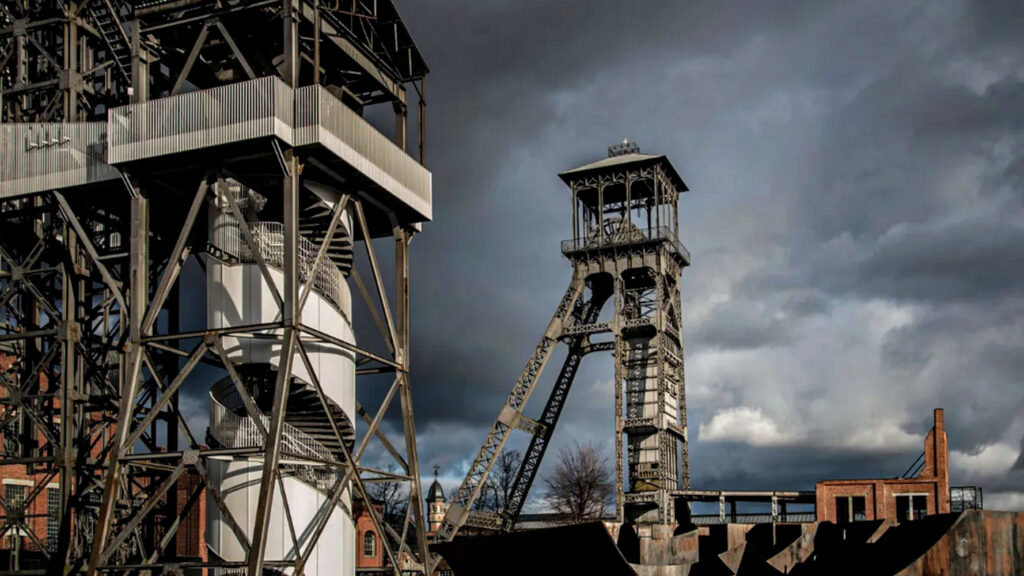
From the beginning of the 20th century, the expansion of the coal mines Zwartberg and Waterschei were important, but were closed in the late 1960.
Genk is a city in the Belgian province Limburg with more than 66,000 inhabitants.
For almost 800 years Genk remained rural with 200 to 500 inhabitants, but Genk remained the center of a number of other little villages.
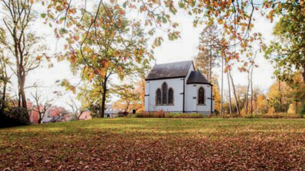
During the 17th century, several fortifications were built around Genk, where the population could hide behind to protect them from foreign troops or the Bokkenrijders (local gang).
The tranquility and the untouched landscape around Genk meant that especially landscape painters went to the heart of the Limburg Kempen in search of inspiration. The first painters arrived in the 1840.
In the 20th century, Genk would grow strongly, due to massive immigration from outside and abroad.
In 1902 the exploitation of 3 coal mines around Genk started and on June 3, 1914 the first coal was taken out. Not long after, the mine of “Winterslag” opened and a little later the mines of “Waterschei” and “Zwartberg“.
In 1920 Genk had only 6,276 inhabitants, but the municipality had already 24.574 inhabitants in 1930. The new inhabitants were mainly immigrant mine workers.
Genk had 3 periods of immigration, due to its mining history: in 1920 from Poland and Ukraine, then from Italy, Greece, Spain and Portugal and from 1964 from Turkey and Morocco.
As a result, approximately 54% of the citizens have an immigrant background and about 100 nationalities can be found in Genk.
After all the mines had been closed it were crisis years (around 1960).
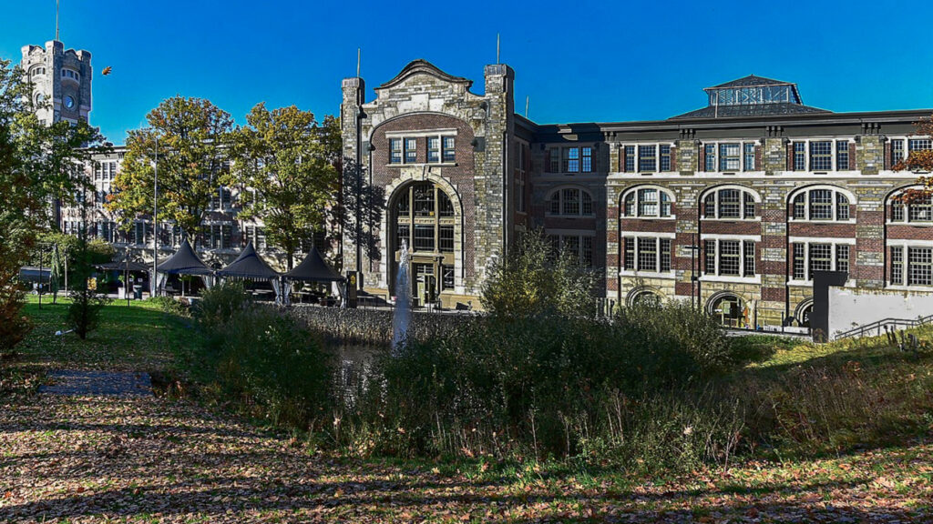
But not long after large companies settled in Genk, such as the car factory Ford, which unfortunately closed in 2014.
Overview map:
Stats:
| Start: | Opglabeek (BE) |
| Coordinates (DD): | 51.043789 / 5.583648 |
| End: | Genk (BE) |
| Coordinates (DD): | 50.968489 / 5.499835 |
| Distance: | 18,7 kilometers |
| Uphill: | 80 meters |
| Downhill: | 80 meters |
| Path, dirt road, gravel, nature trail: | 95% |
| Asphalt, road: | 5% |
| More additional info like GPX track: | Go to Komoot* page… (external) |
| Print: | Go for download here… (pdf) |
- *Komoot is a navigation and route-planning app that enables you to create and follow routes that are based on walking/riding type and ability. Be aware you have to sign up for free to have access to the app.
See and share with QR code:

You will see stage 8. when you scan the QR code (In the app Komoot).
Highlights:
Specific local info:


Roman history
Magnus Carolus
Water sources


Nature
WW1
WW2


Local products
Stories
Sleeping suggestions
Public transport:
Industrial heritage:

